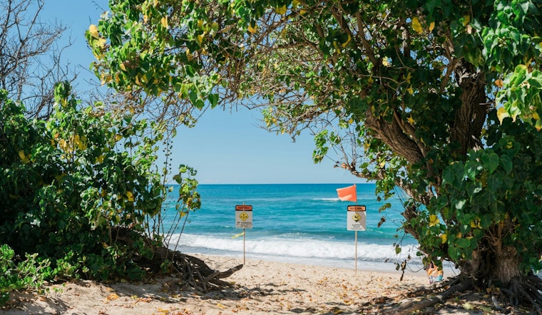
Residents and visitors in the Jacksonville area should stay vigilant as the National Weather Service has extended a high rip current risk warning through late Wednesday night. The alert, which underscores the presence of dangerous rip currents along Southeast Georgia and Northeast Florida beaches, advises caution for anyone entering the waters. According to the forecast, the advisory is in effect for Coastal Nassau, Coastal Duval, Coastal Flagler, Northeast Coastal St. Johns, Southeast Coastal St. Johns in Florida, and Coastal Glynn and Coastal Camden in Georgia.
The risk, which was initially set to expire earlier, has now been prolonged due to prevailing conditions conducive to the formation of rip currents. As per the National Weather Service's Rip Current Statement, "Rip currents can sweep even the best swimmers away from shore into deeper water." These currents pose a significant threat as they can occur at any beach with breaking waves and are particularly deceptive because they typically form at low spots or breaks in sandbars, and near structures such as groins, jetties, and piers.
For those who plan to visit the beach during this period, it is recommended to swim near a lifeguard and heed the posted warnings and flags. In the event that one is caught in a rip current, the advised course of action is to "Relax and float. Don`t swim against the current." Instead, swimmers should attempt to follow the shoreline if possible. If escape is not feasible, individuals should signal to the shore for assistance by calling or waving for help, according to the National Weather Service's Rip Current Statement.
Alongside the rip current advisory, the weather forecast for the area anticipates a possibility of rain and thunderstorms, with new rainfall amounts between a tenth and quarter of an inch, except higher amounts possible in thunderstorms. Shower chances will continue into the early week, with Monday expecting up to two inches of additional rainfall in some places. The skies are predicted to clear up as the week progresses, with temperatures ranging from lows around 47 to highs near 71. Windy conditions will also be present throughout the week, underscoring the critical nature of the high surf warning, as reported by the NWS.


