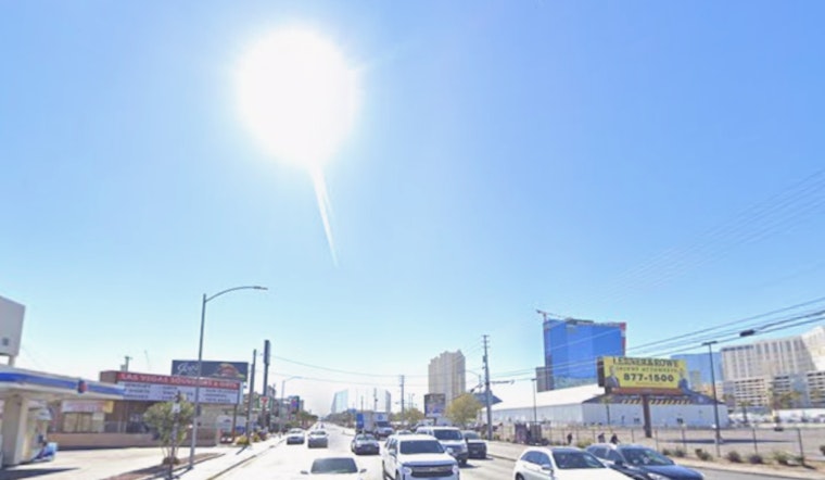
Las Vegas locals and visitors can expect a welcome continuation of dry and pleasant weather extending through the weekend and into the early days of the next week. According to the National Weather Service in Las Vegas, temperatures which have been leaning on the cooler side are predicted to climb back up to their seasonal norms.
The forecast, updated in the wee hours of the morning, points to a "mostly clear skies with a warming trend" that is set to hang around for some time. Meanwhile, winds are expected to pick up, especially in the Colorado River Valley where outdoor activities might see some minor disruptions due to "elevated waves" that could impact smaller vessels. Such details emerged from the National Weather Service's discussion section, taking into account a 1020mb surface high settling across the Great Basin.
Looking ahead, Harry Reid International Airport is bracing for "northerly breezes" which are set to pick up with gusts ranging between 15-25 knots as daylight unfolds. These blustery conditions are forecasted to simmer down by the evening, returning to typical light winds and clear skies. Local aviators and the broader regions of southern Nevada, northwest Arizona, and southeast California can also expect similar weather patterns with occasional gusty winds and mostly clear conditions, as outlined in the aviation section of the forecast.
As for spotters, the call is out to report any significant weather happenings, with the NWS encouraging adherence to standard reporting procedures. Navigating the week ahead, a "weak cut off low" looms off the southern coast of California, posing the promise of a modest uptick in cloud cover and a slight dip in temperatures. However, the forecast also raises the possibility of some shower activity as the system makes its move inland by the middle of next week.


