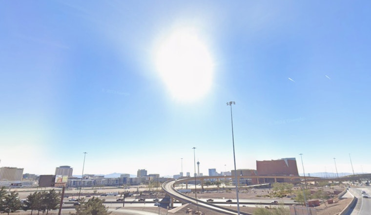
Las Vegas residents and visitors, it looks like the city will continue its signature dry, warm embrace for at least another week. According to the National Weather Service Las Vegas NV, the area forecast discussion indicates that a high-pressure system is taking charge, leading to "above-normal temperatures" and "dry weather" through the upcoming week.
Temperatures are expected to be above normal, with at least an 80% chance of +3-degree anomalies across the area each afternoon, according to the NWS. The forecast anticipates some welcome warmth, with most locations eyeing highs in the 70s and 80s. Even so, the region is set to experience what locals might consider an extended stretch of “pleasant” conditions—albeit through a haze of persistent heat that feels almost redundant in a desert metropolis.
While the winds are expected to remain quite tame throughout the period, those in the lower Colorado River Valley may experience what remains of northerly breezes today. The forecast assures that for other areas, including Harry Reid International Airport, winds remain light and follow typical daily patterns, with any stronger gusts being largely unlikely.
As the sun reigns supreme during the day, admirers of the night sky might note the arrival of high clouds moving in from the northwest tonight. Such will be the backdrop for both terrestrial and aerial travelers. Aviation forecasts for southern Nevada, northwest Arizona, and southeast California suggest, that apart from the lower Colorado River Valley with its breezy north winds, the region will be calm, making for smooth flying conditions. The NWS is asking local weather spotters to report any notable weather or impacts.


