The National Weather Service in Cleveland provided an update on weather conditions affecting Northeast Ohio and Northwest Pennsylvania. According to their NWS Area Forecast Discussion, the region is in for a mix of sun, lake effect showers, and some persistent rainfall. Conditions are expected to remain fairly dry throughout Saturday with the exception of some ongoing lake effect rain showers in the far Northeast parts of Ohio and Northwest PA, albeit "fairly disorganized and weak most of the day."
NWS Cleveland forecasts also point to a quiet second half of the weekend but expect a brief high pressure period to quickly change as a cold front moves in by Monday. Anticipate to see an increase in wind with gusts potentially hitting the 30-35 MPH mark on Monday, an atypical occurrence—but something to watch if you're planning to be out and about. Temperatures during this time will hover in the mid-50s, a bit below average.
Aviation forecasts indicate VFR conditions should prevail for the most part, with NWS noting, "scattered to broken VFR ceilings will continue into tonight." Winds will prove a bit more challenging, ramping up midday Friday with gusts up to 25 knots before settling down in the evening. Travelers through the region should prepare for the potential of non-VFR conditions extending through the weekend due to ongoing lake effect weather patterns.
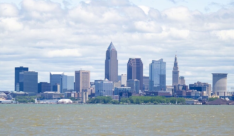
For those bound to the waters of Lake Erie, conditions promise to be rough. A Small Craft Advisory has been issued through Saturday morning, with wave heights today being significant enough to merit caution: "6 to 10 feet occasionally up to 13 feet." Winds and waves are expected to diminish come Saturday night, making way for improved boating conditions. However, southwesterly winds are projected to pick back up by Monday, potentially necessitating additional advisories early next week.


