As Southern California braces for warmer conditions followed by a cooling trend, the National Weather Service in San Diego has provided a detailed forecast for the days ahead. According to the NWS San Diego's report, "Today will be a few degrees warmer with cooling for Friday into Saturday as a low pressure system moves inland into California and Nevada." This spells out a brief respite from the heat before a temperature drop sets in over the weekend.
The forecast also signifies stronger onshore winds for Friday, particularly in the mountain and desert regions, with gusts potentially reaching 35 to 45 mph on the east slopes of the mountains. The marine layer, around 1200 to 1400 feet deep, will also deepen and bring coastal low clouds further inland for Friday night into early Saturday. These conditions are expected to contribute to the cooling inland regions for Sunday and Monday, with NWS San Diego predicting high temperatures "5 to 10 degrees below average for inland areas."
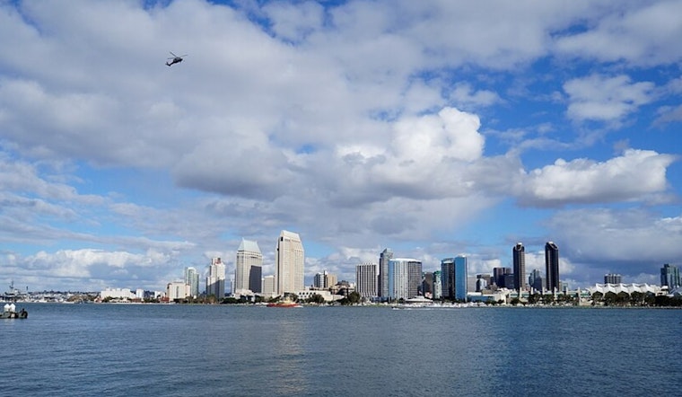
For aviation, conditions remain mostly clear over mountains and deserts, with variable low clouds between 1000 and 1500 feet MSL affecting coastal and valley areas. The marine outlook turns breezier Friday afternoon and evening, where northwest winds near San Clemente Island could create small craft hazards. Otherwise, no perilous marine conditions are anticipated through Monday, offering a silver lining for seafarers.
At the tail end of the weekend and into the next workweek, locals can anticipate a "few to around 5 degrees" cooling trend, as reported by NWS San Diego. By Monday, coastal areas are projected to hover around 70 degrees, while the Inland Empire may see temperatures ranging from the mid-70s to around 80, with the lower deserts feeling a warmer 90 degrees. A slight warming will return for Tuesday and Wednesday, but the mercury will remain a few degrees shy of average for this time of year.


.jpg)