As Las Vegas residents continue to bask in warmer than usual November temperatures, the National Weather Service in Las Vegas has indicated that these conditions should persist at least into the early parts of next week. The forecast discussion released this morning predicts daytime highs in the low 80s and morning lows ranging from the upper 50s to low 60s, which is 5 to 10 degrees above the average for this time of the year.
A shift in the weather pattern may be on the horizon. The NWS noted ongoing uncertainty about the strength of an incoming weather system expected mid to late week, which could bring cooler temperatures and gusty winds to the region. There’s also a chance of precipitation in the eastern Sierra due to moisture interacting with the mountain range’s orographic lift, though the likelihood remains low for areas farther south.
In the meantime, the NWS underscores that the high pressure dominating the southeastern Pacific and the Desert Southwest will keep the skies mostly clear, and the Vegas Valley relatively calm. While the conditions are serene for now, it's worth watching out for the latter half of the week when a weather trough is expected to move through the western United States. The extent of its impact on local weather conditions is not yet clear, but forecasters have indicated a 50 to 60 percent chance of westerly downslope wind gusts pushing off the eastern Sierra slopes come Wednesday.
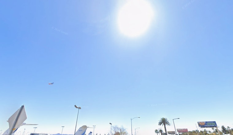
Aviation interests shouldn’t expect significant disruptions for now. The NWS aviation forecast for Harry Reid indicates winds will follow typical diurnal patterns, remaining below 8 knots throughout the forecast period. Except for the Colorado River Valley, where north winds could exceed 10 knots, VFR conditions are expected across the board.
As the NWS closely monitors the potential incoming weather system, it encourages local spotters to keep their eyes peeled and report any significant weather or impacts according to standard operating procedures.


