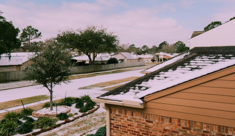
An Arctic cold front has moved into Houston, bringing a significant drop from the near-80-degree temperatures experienced in recent days. This temperature change is expected to result in the coldest conditions the city has seen so far this winter.
According to the National Weather Service forecast, Houston will transition from cloudy to clear skies, with daytime highs near 56 degrees early on, gradually dropping to around 50 degrees. North winds are forecasted at 15 mph, with gusts up to 30 mph. In the evening, skies are anticipated to remain mostly clear, with overnight lows near 34 degrees, although some sources predict temperatures could drop further.
On Sunday morning, temperatures in Houston are projected to start in the low 60s before dropping sharply as the day progresses. By 9 a.m., temperatures are forecasted to be in the low 50s, with little change by midday. North winds will remain steady and gusty throughout the day, contributing to a noticeable chill. By 5 p.m., temperatures are expected to fall to the upper 40s, providing an early indication of the freeze watch in effect for Southeast Texas on Monday morning.
The freeze watch indicates that areas north of Houston, including The Woodlands and Huntsville, could experience lows between 28 and 32 degrees. In the Houston metro area, lows are forecasted to range from 31 to 35 degrees.
On Monday, sunny conditions are forecasted with a high near 53 degrees, followed by a mostly cloudy night with lows around 40 degrees.


