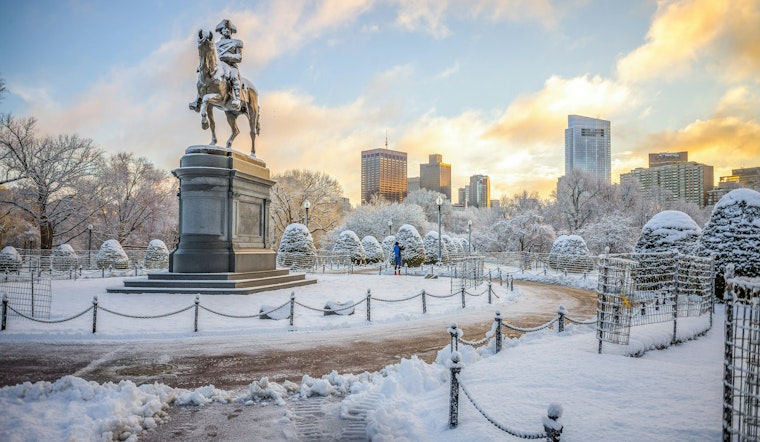
Boston residents and New Year's revelers should be ready for a snowy start to 2025. The National Weather Service forecasts snow to begin late on New Year's Eve, with over an 80% chance of precipitation and new snow accumulation of less than one inch. The flakes are expected to keep falling into New Year's Day morning, primarily before 11 a.m., turning the first day of the new year white.
Meanwhile, NBC Boston has issued a First Alert for the early hours of New Year's Day, keeping a watchful eye on the possibility of heavier bursts especially on the South Shore and Cape Cod. This system, while initially dry, is predicted to pick up some moisture from the Atlantic, with "visibilities will drop, some heavy bursts of snow are possible, and the greatest accumulations will be found." NBC Boston cites potential accumulations of 1 to 3 inches, aiming more towards the higher end specifically on the Cape.
After the snow, the forecast indicates a trend toward clearing skies on New Year's Day, but with a persistent chill. Highs are projected to hover near 32 degrees, accompanied by West winds traveling at speeds of 7 to 14 mph, gusting as high as 26 mph. Thursday night into Friday promises mostly clear skies with low temperatures plunging to around 13 degrees. Winds will continue from the West, adding a brisk bite to the air.
As for the weekend, residents can expect a steady hold on the cold with mostly sunny days and low temperatures in the teens, according to the National Weather Service. Looking ahead into the following week, there's "a slight moderation in temps starting at midweek," reported NBC Boston, although there may be a passing snowflake or two on Tuesday. With the holiday weekend upon us, Boston is undoubtedly donning its wintry apparel, bracing for the snowfall, and then settling into the January cold snap.


