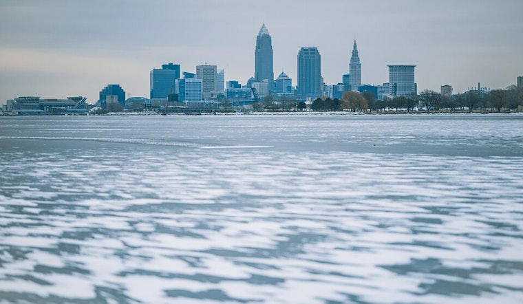
Cleveland is bracing for a bout of extreme weather, as a powerful low-pressure system swings north through the Great Lakes, prompting warnings from the National Weather Service in Cleveland. According to the latest forecast, the region is facing a cocktail of plummeting temperatures, gusty winds, and potential snow squalls, all trailing the departure of a cold front this morning.
Temperatures that were in the 50s and 60s at midnight are expected to dive into the 20s by daybreak, with Tuesday barely seeing highs in the 20s. Following the cold front, residents should brace for winds accelerating, with gusts that could hit between 50 and 60 MPH today, prompting Wind Advisories and High Wind Warnings to blanket the area through tonight. "Winds will decrease tonight but breezy conditions and northwesterly wind gusts 25-35 MPH are expected to linger through Tuesday," warned the National Weather Service.
Travel could become hazardous as lake-enhanced snow showers introduce the possibility of snow squalls developing in the Snowbelt region. The National Weather Service cautions that snowfall rates may surge to 1 inch per hour late this afternoon and early evening. Drivers should be mindful of whiteout conditions and difficult travel, especially when coupled with the nearly 45 to 50 mph gusts still whipping through the evening. Winter Weather Advisories persist for parts of the region, possibly impacted by these gathered snowstorms and strong winds.
A clipper system is forecast to chase the Great Lakes Tuesday night into Wednesday, dragging yet another cold front across Ohio. Subsequent lake effect snow might blanket Northwest Pennsylvania with an additional 8-10 inches through Thursday morning. "Elsewhere, expect at least 0.5" to 1 inch of snowfall with the clipper," as per the National Weather Service's guidance. The geological chill will plunge lower, with Thursday night's temperatures flirting with single-digit wind chills.
Despite the tumultuous start to the week, a return to calmer skies is on the horizon. High pressure is projected to build from Friday and last into the weekend. Attendees of the gradual warming can anticipate highs nudging closer to the freezing mark by Monday. Clevelanders, however, are advised to batten down for the arctic slap preceding this respite, ensuring safety and preparedness in the face of nature's relentless winter dance.


.jpg)