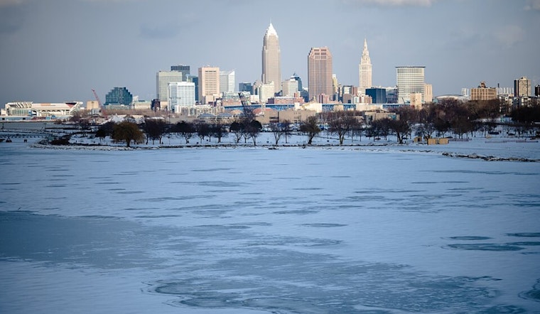
Clevelanders are bracing for a bit of a weather whiplash this weekend as the National Weather Service forecasts a rollercoaster of temperatures and conditions. Reports obtained by NWS Cleveland indicate milder temperatures today with another cold front swooping in tonight, making for a colder Sunday. High pressure will then take the reins early next week, promoting a milder trend into midweek.
For those longing for a thaw, today's your brief reprieve. With high pressure moving up from the south, "temperatures will have experienced a rebound from the raw day on Friday," NWS said, anticipating upper 30s east to lower 40s west. However, don't ditch the winter gear just yet. The incoming cold front, expected around 00Z Sunday—late Saturday night for non-weather buffs—night promises to bring back the chill with below-freezing highs on Sunday.
Looking a tad farther out, Sunday night's high pressure begins a warming trend expected to lock Arctic air north of the Great Lakes. The NWS states, "A ridge aloft will begin building over the Rio Grande Valley and western Gulf Coastal region." This shouldn't stop systems from stirring up some low-end precipitation Monday night and a weak cold front Tuesday, but the blustery bite will have subsided.
By midweek, anticipate coat-shedding temps as "850mb temperatures will climb into the lower teens," translating to a balmy 50s area wide for December 25th and 26th, according to the NWS discussion. The return to more seasonal air isn't expected until the following weekend, granting the region an unseasonal but likely welcome holiday heat wave.
Aviators might find smoother skies ahead with mostly VFR expected through the TAF period, though some lake effect snow looms toward the period's end over Northeast Ohio and Northwest PA. Ground transportation will not escape unscathed—marine conditions on Lake Erie forecast south-southwest winds ramping up today and waves peaking at 6-12 feet in select areas. Boaters, you've been duly warned with several Small Craft Advisories in place through Sunday evening. Ice packing against the western basin shoreline could see some action too, with weather and temperatures nudging at the icy status quo.


.jpg)