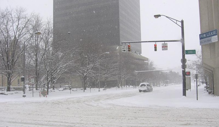
Residents across Columbus, Cincinnati, and even Wilmington are feeling the chill as colder air has settled in, with the National Weather Service in Wilmington reporting scattered snow showers this morning. The situation is set to intensify as a clipper-type low-pressure system gears up to bring more snow tonight into Friday morning. A second blast of wintry weather will follow on Saturday, leading into a deeply frigid Sunday and Monday with wind chill values expected to dip below zero.
An "amplified mid and upper level flow with a mid level low rotating through southeast Canada" has kicked off the current cold spell, "in post frontal CAA regime," leading to "cyclonic flow off the lakes" as mentioned in a forecast by the National Weather Service, Wilmington, OH. The subsequent snow showers have been potent enough to drop visibility and leave a quick coat of snow across the regions.
In the near term through tonight, breaks in the clouds are possible this afternoon, with thickening clouds ahead of the next system. The forecast suggests that "any snow looks to hold off until after 6 PM" with high temperatures spanning from the upper 20s in the north to the lower 30s in the south.
Looking ahead to Friday, the anticipated snow accumulation has led local officials to expand winter weather advisories. The National Weather Service advises, "Expect snow to develop into southeast Indiana and northern KY during the early evening and then across all but the far northeast counties by late evening." The system, considered progressive, should cease its snowing from west to east between 12Z and 15Z on Friday. There's a possibility for some areas, particularly in southeast Indiana and north-central KY, to see snow totals reaching or exceeding 4 inches, prompting expanded advisories to cover a tier of counties north where 1 to 3 inches are forecast.
Air travelers could face changes in their plans as "Cold air advection, cyclonic flow, and favorable fetch off the lakes has resulted in widespread MVFR conditions overnight." According to NWS forecast, enhanced snow showers are expected to continue, reducing visibility and potentially intensifying to "moderate in intensity at times." The weather will surely prompt conversations and shared commiserations about the repeated dance with winter's edge in this part of the country.
As we leap further into the weekend, the outlook remains grim with MVFR to IFR conditions possible through Saturday night. The community is bracing for what is sure to be a truly impactful stretch of winter weather, with "confidence is high in temperatures falling to around 0 to the single digits above zero, with wind chills approaching 10 below zero," as mentioned by NWS.


