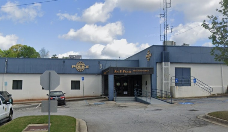
The Forest Park Police Department is keeping the public in the loop with their latest social media update on crime and law enforcement activities. The department, via a Facebook post, shared an overview of the Week 50 crime statistics and operational highlights, including insights from their Real-Time Crime Center (RTCC) and Drone as First Responder (DFR) programs. For those looking to get a closer glimpse at the city's safety landscape, residents can view the Week 50 Crime Map, which was provided in the post.
Keeping an eye on emerging crime trends and fast-responding to incidents has been streamlined by using real-time data and aerial surveillance, Forest Park PD indicates. Deploying drones and monitoring cameras, the city's RTCC operates "during Week 50," as the crime map linked in the department's post suggests. Yet tucked away beneath the digital interactions, a deeper narrative unfolds—one where community members can chart the pulse of their environment, wrestling with the implications of privacy vs. protection in a digital age. The PD's update is part of a broader effort, branded by them as #CommunityStrong, to foster transparency and maintain a dialogue with the citizens they serve.
Among the Forest Park locals, reactions to this technologically augmented policing have been mixed. While some applaud the proactive steps taken to ensure safety, others express reservations about surveillance's reach. But it's an evolving dialogue, one that accompanies every hum of a patrol drone, every ping from the crime center's monitors.


