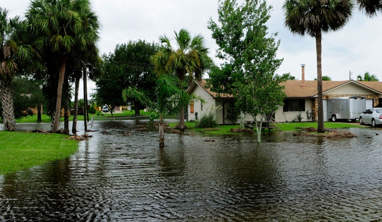
All of Hawaiʻi is in for a soggy few days, as a Coastal Flood Statement covering every island kicks in at midnight HST tonight and sticks around through Saturday morning. Officials say even usually dry beaches, low-lying coastal roads and boat ramps could see minor flooding, overwash and salty puddles during the daily high tides.
Coastal Flood Statement for all islands from Midnight Tonight (12/04) through Saturday Morning (12/06).
— Hawaii Emergency Management Agency (@Hawaii_EMA) Dec 3, 2025
State alert and timing
The Hawaii Emergency Management Agency says the Coastal Flood Statement applies to "all islands" starting at midnight HST today and continuing through Saturday morning. The advisory stresses that the main issues will line up with the daily peak high tides during this stretch.
National Weather Service: minor flooding near peak tides
The National Weather Service in Honolulu explains in a Coastal Hazard Message that peak monthly high tides combined with water levels that are running higher than predicted will lead to minor flooding. NWS Honolulu notes that vulnerable low-lying coastal roads, docks, boat ramps and other shoreline infrastructure are most likely to see problems around the early-morning high tides through Saturday.
How to prepare
Officials recommend steering clear of flooded roadways, moving vehicles and valuables to higher ground, and securing small boats and watercraft stored on the beach. The state emergency website also urges residents to sign up for county alerts and keep an ear on local radio, television and NOAA Weather Radio for updates. Preparedness tips and resources are available from the Hawaiʻi Emergency Management Agency.
Report flooding and submit photos
The NWS is asking anyone who encounters coastal flooding to document what they see and share photos with the University of Hawaiʻi Sea Grant King Tides project at PacificIslandsKingTides.org, helping researchers and planners better understand rising water levels. Flooded or damaged roads should be reported to county emergency offices so responders and public works crews can check conditions and clear hazards.
Stay informed
Although the impacts are expected to be brief and tied closely to the high tide schedule, the pattern will repeat with each morning tide through Saturday. Keep an eye on water levels, coastal access points and local advisories. For detailed technical information and the most current safety guidance, follow updates from the National Weather Service Honolulu and state emergency officials.


