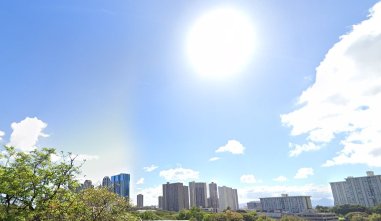
Honolulu residents can expect a continuation of dry weather conditions through tomorrow, thanks to a high pressure ridge keeping the rain at bay, as reported by the National Weather Service in their latest forecast. The ridge, steadfast above the island chain, is producing stable conditions and minimal showers, with a weak cold front near Kauai anticipated to possibly hike up shower activity come Wednesday.
Bringing an update to the region's atmospheric conditions, the forecast details stable clouds moving southeast towards the Big Island and east Maui. Coming Wednesday, we shall see an increased chance of showers over Kauai, though the front is expected to dissipate soon after. Despite varying predictions, local residents might want to keep their umbrellas handy. According to the National Weather Service, "These two temperature inversions will continue to serve as a stable capping force for cloud development, reducing shower potential statewide."
Marine conditions aren't left without change, with a significant northwest swell leading to a High Surf Warning in effect until noon today. The warning applies to the north and west facing shores of several islands, including Niihau and Kauai. Meanwhile, a Small Craft Advisory is also in place, but conditions are improving, with the advisory scheduled to lift at noon.
For beachgoers and surf enthusiasts, the current northwest swell is forecasted to decline today with a new swell expected to peak by Thursday. While surf may approach warning levels, it's a welcome change for those eager to hit the waves after a period of calmer conditions. The National Weather Service remains cautious, advising, "The current, large, long-period northwest (320 degree) swell will slowly decline through the remainder of today."
With the focus shifting towards midweek changes, islanders can anticipate the return of trade winds from Thursday, bringing familiar patterns of passing showers, particularly to windward and mountainous regions. The forecast is a breath of fresh air for residents who've experienced drier trends amidst the stable weather, as the southeastern wind flow has, until now, cast a dry shadow over the smaller islands.
By the end of the week, the Hawaiian weather scene is set for a reset, with trade winds getting stronger, and a more typical weather regime taking the stage. As for now, no AIRMETs are in effect, and the more stable conditions should persist shortly, at least until the anticipated changes take place midweek.


