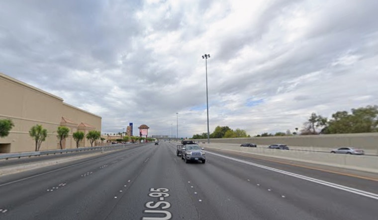
As Las Vegas gears up for the holiday season, the National Weather Service in Las Vegas, NV, has rolled out its latest forecast, alerting residents and visitors to incoming unsettled weather conditions, which could affect Christmastime festivities. The weather update, delivered in the wee hours of the morning, forecasts widespread rain and snow in the higher elevations, accompanied by gusty winds that may lead travelers to rethink their Christmas Eve plans.
According to the National Weather Service, the Eastern Sierra is witnessing a weakening of winds, though a Wind Advisory remained effective until early this morning. While Sunday may bring slightly gustier conditions, it is the Christmastime storm system expected to pummel the area with precipitation and strong winds that has caught the attention of locals. The forecast, disseminating a 50-90% probability of precipitation on Christmas Eve, suggests that some travel plans might face nature's bluster on what's expected to be a wet and windy holiday eve.
The upcoming storm system does not herald only winds and rain; higher elevations are preparing for snowfall, though snow levels are anticipated to be above 7,000 feet initially, potentially raising the white curtain on winter hazards in the mountainous terrain. As the holidays wrap closer, the NWS predicts a "relative lull in precipitation on Christmas Day," with the caveat that snow levels should begin to descend, possibly increasing the potential for winter-related travel impacts.
In light of the forecast, record-breaking temperatures are also in play. The National Weather Service notes several locations across the region where the forecast high and warm low temperatures are challenging historical records. Cities like Las Vegas, Bishop, and Needles have their daily maximum and minimum temperature records within arm's reach of being broken, a trend reflective of an undulating climate pattern that plagues the planet even in its holiday vestments.
Aviation interests have been advised to anticipate light winds and periods of scattered to broken cloud cover above 15,000 feet, with cloud cover increasing by night. The rest of southern Nevada, as well as northwest Arizona and southeast California, are forecast to experience typical wind patterns, except near KDAG, where westerly gusts could ruffle up to 25 knots in the afternoon. The NWS advises that precipitation may affect mountain visibility with possible cloud ceilings dropping to 7,000 feet tonight, though Visual Flight Rules (VFR) conditions are expected to dominate elsewhere with cloud ceilings remaining well aloft.
For those meticulous about the impacts of weather on their holiday plans, the National Weather Service encourages spotters to report any noteworthy conditions. Such attentiveness serves as a community's barometer, allowing for more precise preparations and response to the weather's ever-dynamic character—especially as record warm temperatures seem to sing a merrier tune than the bells of Santa's sleigh this season.


