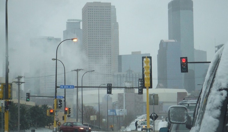
Residents in Minneapolis and the broader Twin Cities area should brace for a bout of wintry weather, according to the National Weather Service. Snow likely, "mainly after 5pm" today, says a forecast that pegs the chance of precipitation at 70%, with less than a half inch of accumulation expected beforehand dark. As nighttime falls, the temperature is set to plummet to a low of around -3 with snow mainly winding down before 11pm.
As the quiet ambience of a snowy Sunday morning forecast unfolds, the sunny conditions will be deceptive with "Wind chill values as low as -17," making it feel significantly colder than the actual high around 5. Looking ahead to Monday, the cloud cover returns alongside a high near 26, signalling a warmer week start. However, the weather service also indicates a 30 percent chance of snow before midnight, with temperatures curiously expected to rise overnight.
But today's snow is just the beginning, as the National Weather Service's Hazardous Weather Outlook emphasises "Travel impacts are likely" with "accumulating snow... across southern MN" and the heaviest snowfall anticipated along I-90. The forecast stretches all the way through to next Friday, keeps the door ajar for additional snow or mixed precipitation and warns of potentially hazardous travel conditions.
The community in Minneapolis must stay vigilant as these wintry conditions persist. While no SKYWARN spotter activation is needed yet, the risks slated for the week may change that, with precipitation amounts swinging anywhere between " a tenth and quarter of an inch" for Tuesday's bout of snow, possibly mixing with rain in the afternoon, according to NWS. To navigate the snow-laden streets, residents should practice caution, focused on staying warm and safe amid a drumbeat of winter's chilling refrain.


