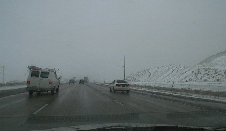
Residents of Salt Lake City should brace for an imminent shift in the weather, as the region is expected to receive a mix of snow and rain over the next several days. The National Weather Service reports that, starting this afternoon, there's a minor chance of snowfall followed by a more substantial likelihood tonight, with overcast skies and low temperatures around 29°F. As daylight wanes, snow accumulation is anticipated to be less than half an inch.
Heading into Friday's early hours, snow is expected to continue, making way for rain later in the day. The NWS predicts that the odds of precipitation rest firmly at 70%, while the onset of more formidable rain is slated for Friday night with a 90% chance. Although the mercury may hover around the 36°F mark under the enveloping rain clouds, the calm winds of the evening, rushing subtly from the south, 5 to 7 mph, could bring a chill that reminds citizens of the winter ahead.
The wet conditions are set to extend into the weekend, so inhabitants planning outdoor activities should make contingency arrangements with rain predicted to persist until Saturday morning and a further potential for rainfall Saturday night. Despite this, Sunday offers a glimmer of reprieve, showcasing partly sunny skies, although the chance for rain lingers before 11 am.
As the new week dawns, Salt Lake City denizens anticipate partly sunny conditions, inviting daytime highs nearing the cusp of 50°F by Tuesday. However, the NWS bulletin warns of the precarious nature of mountain weather. An additional chance of rain comes on Wednesday, although, by then, a moderate 51°F interim high is forecasted, suggesting an interplay of sunshine and rain that will demand adaptability from all those who call the area home.


.jpg)