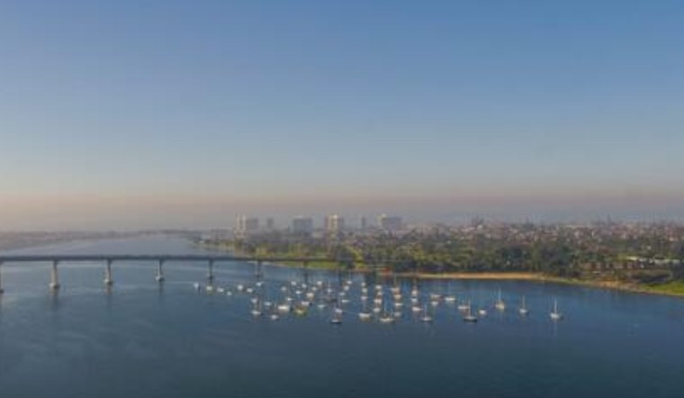
The Port of San Diego has just pulled a significant portion of the bay into its orbit, voting to adopt a Trust Lands Use Plan that encompasses roughly 8,000 acres of tidelands and submerged lands within the agency's permitting jurisdiction. The newly mapped territory, long nicknamed the "donut hole," will now fall under Port coastal authority and comes with a blueprint for where activities such as aquaculture and bait-barge operations could continue or grow. The plan includes a mitigated environmental finding and kicks off a state review that will determine whether the Port keeps management control over the newly granted waters.
At a Dec. 9 meeting, the Board of Port Commissioners approved a Port Master Plan Amendment for the Final Draft TLUP and adopted a Mitigated Negative Declaration, as reported by the Port of San Diego. "Approval of the Trust Lands Use Plan marks an important milestone in our ongoing commitment to be responsible stewards of San Diego Bay," Chair Danielle Moore said in the Port's statement. The Board also directed staff to file the amendment with the California Coastal Commission for certification, then submit the plan to the State Lands Commission for final approval.
How Much Territory Is At Stake
The transfer traces back to Senate Bill 507, which granted the Port about 8,000 additional acres, including roughly 7,900 acres of water and 100 acres of land that must now be governed by a Trust Lands Use Plan, according to statewide CEQA records. The state's CEQA clearinghouse lists the Trust Lands Use Plan Notice of Determination and shows the filing was posted in early December with mitigation measures attached to the adopted declaration. State CEQA records also note that Coronado, Imperial Beach, and San Diego border the newly granted tidelands.
Four New Planning Districts And The 'Donut Hole'
The TLUP carves the new territory into four planning districts - north central, north bay, south central, and south bay - covering roughly 8,003 acres in total, with detailed acreages broken out in local reporting. The San Diego Union-Tribune lays out the breakdown, including about 1,146 acres in the north central bay and roughly 3,028 acres for the south central district, and notes that the plan's authority stretches into bay areas that previously sat outside the Port's permitting reach.
What The Environmental Review Concluded
The TLUP went forward alongside a Mitigated Negative Declaration that found the plan would not cause significant environmental impacts as long as its mitigation measures are carried out, according to the state filing. The CEQA notice explains that mitigation reporting and monitoring plans were made conditions of approval and that the necessary findings were made under CEQA. CEQA filings show the Port formalized those environmental determinations as part of the Dec. 9 action.
Who Is Already Using The New Territory
The newly defined area includes nearly 1,060 acres of salt evaporation ponds and close to 100 acres of land in the south bay, and the TLUP notes a mix of public-agency, academic, and utility uses that were transferred in 2020. Local reporting highlights key industry tenants: the plan references submerged leases used by contractors such as BAE Systems for portions of its dry-dock facilities, and family-run Everingham Bros. continues to operate a bait barge in the north bay. The San Diego Union-Tribune also reported financial details tied to the transfer, including payments the Port made to State Lands and the agency's net proceeds from the arrangement.
Next Steps And Legal Review
With the Board's vote complete, Port staff will now seek certification of the Port Master Plan Amendment from the California Coastal Commission. Only after the Coastal Commission signs off will the Port submit the final TLUP to the State Lands Commission for approval. The Port said it expects final approval in 2026 and has begun outreach and technical coordination required by SB 507, as reported by the Port of San Diego. For the moment, the adopted MND and the PMPA shift the process into a more formal state review phase.
For waterfront neighborhoods and marine businesses, the TLUP doubles as both a roadmap for future uses and a checkpoint for questions about habitat, fishing access, and industrial tenants that depend on submerged leases. Public comment records and the upcoming Coastal Commission review will be the places to watch for specific permit proposals as the Port moves to govern its newly acquired slice of San Diego Bay.


