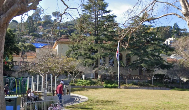
Freshly minted high-resolution geologic maps are putting hard numbers to something Sausalito residents have long suspected: a huge share of the city is clinging to some very steep, landslide-prone hillsides. City staff say the new data give them the technical backing they need to bring a formal hillside building ordinance to the City Council next year.
Miller Pacific Engineering Group, the consultant hired by the city, told council members it has nearly finished parcel-by-parcel mapping of Sausalito's 3,397 lots. The team described a method that layers satellite imagery, slope and soil data, plus detailed inventories of structures and retaining walls, to calculate how vulnerable each area might be to landslides. The mapping work and presentation were included in the Dec. 16 council packet and video, according to the City of Sausalito.
New Maps Show Just How Steep Sausalito Really Is
The numbers are striking even for a hillside town. The new maps indicate roughly 2,740 of Sausalito’s 3,397 parcels sit on steeper ground, with nearly 2,000 parcels (about 58%) showing slopes of 25 degrees or more and more than 900 parcels (27%) topping 40 degrees. Only about 20% of parcels come in under a 10% slope. Those figures and the broader hazard analysis appear in a city staff report and were first reported by the Marin Independent Journal.
A 2019 Mudslide Set This All In Motion
The push to re-map Sausalito’s hillsides dates back to a Valentine’s Day 2019 storm that hammered the city with flooding and road closures and triggered a pre-dawn mudslide. That slide shoved a duplex off its foundation and destroyed another home; rescuers pulled a woman from the debris, as reported by ABC7. The disaster and its aftermath still serve as a reference point for local officials as they debate how far to go in trying to cut landslide risk.
How Engineers Built the New Risk Picture
City consultant Mike Jewett told the council the study combines remote sensing technology with on-the-ground soil and slope data and is sensitive enough to pick up smaller features such as low retaining walls, rooflines and even individual trees that can affect landslide susceptibility calculations. That fine-grained detail, Jewett said, helps planners decide which roads, storm drains and structures should be monitored or inspected first, according to the City of Sausalito.
What the Report Urges, and What Happens Next
The staff report calls for a monitoring program focused on city-owned roads, buildings, storm drains, retaining walls and other public assets, and it lays out the technical underpinning the city could use to write a hillside zoning ordinance. Staff compared Sausalito’s draft concept with hillside rules in Corte Madera, Fairfax, Larkspur, Novato and San Rafael and noted that some Marin cities require extra review for parcels with slopes as shallow as 10 degrees, according to the Marin Independent Journal. “Approximately 80% of the parcels in Sausalito are susceptible or highly susceptible to landslides,” Mayor Steven Woodside said in remarks the paper reported; the consultant backed up that context in presentation materials.
Council members signaled they plan to lean on the new maps as they shape ordinance language and decide which pieces of infrastructure to prioritize for monitoring next year. Staff and consultants are expected to return in the coming months with specific ordinance proposals and implementation options for the council to debate.


