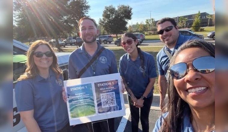
The St. Johns County Sheriff's Office recently celebrated a vital collaboration with Creekside High School as part of their third annual Geographic Information Systems (GIS) Day, an event showcasing the tools that bolster the capabilities of first responders. In an era where technology is rapidly shaping the operational landscape of emergency services, the Sheriff's Office social media to express the importance of such educational engagements, stating, "#TeamSJSO proudly partnered with Creekside High School for our third annual Geographic Information Systems (GIS) Day!"
The partnership demonstrated the use of real-time GIS technology in emergency response and its role in supporting decision-making by first responders. Students received hands-on instruction with tools used in critical situations, including drone technology, according to a post from the Sheriff’s Office. Officials said the event provided students with an overview of how technology is used in public safety and supported the Sheriff’s Office’s efforts to collaborate with educational institutions. The initiatives are intended to introduce students to potential careers in emergency response.
During GIS Day activities, students learned how geographic information systems are used in public service, including demonstrations of drone technology commonly used in search-and-rescue operations and disaster response. The Sheriff’s Office said the partnership with the school district is part of its ongoing collaboration to provide educational opportunities related to public safety and technology.


