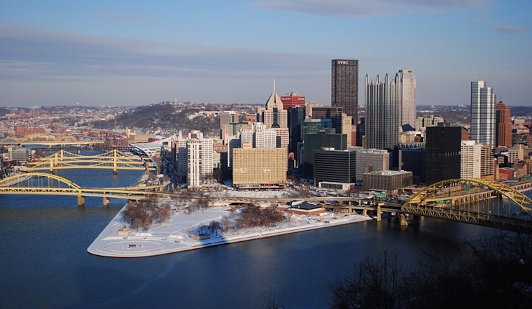
Residents in Pittsburgh and the surrounding areas are bracing for a wintry mix and rain as unseasonable warmth persists through the week. According to the National Weather Service's Pittsburgh PA branch, parts of the northeastern counties are expected to receive snow and a possible transition to freezing rain, while the rest of the region will see rainfall as temperatures continue to rise.
The National Weather Service has issued a Winter Weather Advisory effective through Tuesday morning for Forest and Jefferson counties, following observations of snow and freezing rain north of I-80. "Some reports of freezing rain have occurred in DUJ," the advisory noted. While no significant ice accumulation has been reported yet, the conditions warrant precautions given the area's heavy travel during this time of year.
A shortwave system lifting northeast is expected to maintain low-level cloud cover and continue rain/drizzle throughout Tuesday. The temperature in the region is expected to reach the upper 40s, which the Weather Service notes as being "roughly 10 degrees warmer than normal." The much-needed dry conditions are forecast to return Tuesday night as a weak cold front passes and high pressure builds across the Great Lakes.
Shifting the focus to aviation, Pittsburgh area airports are anticipating IFR conditions to dominate most of the day due to the ongoing weather situation. "As expected, conditions have deteriorated here before sunrise, with IFR becoming the rule not the exception," stated the National Weather Service. Flights may face delays or adjustments as a result of weather-related restrictions.
Looking ahead into the week, Wednesday promises dry but cloudy conditions with a slightly cooler return to above-normal temperatures. However, another wave of light rain is anticipated to hit the area by Wednesday night, possibly bringing yet again a wintry mix to northern counties. The National Weather Service cautions of a "potential concern to freezing precipitation" as the week progresses, with forecast uncertainty increasing post-Friday.


