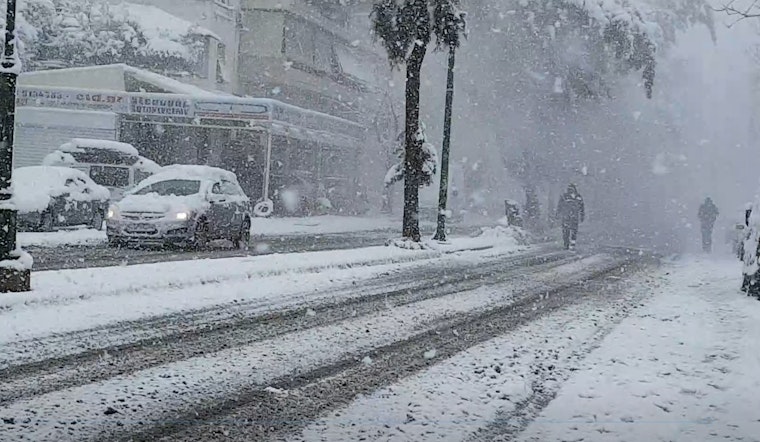
As Massachusetts weathers the ongoing winter storm, Boston braces for more snow, with up to 6 additional inches expected today. According to the weather forecast from the National Weather Service, snow is likely today, mainly after noon, with a cloudy sky and a high near 30. The chance of precipitation stands at 60%, and the area could see daytime snow accumulation of 1 to 3 inches.
Snowfall is expected to continue tonight before clearing around 9 PM. Despite a drop in temperature, with wind chill values as low as -4, and a northwest wind hitting gusts as high as 26 mph, forecasts show less than an inch of new snow. A report from Boston 25 News indicates that communities south of the Mass. Pike, including Providence and New Bedford, is expected to see an additional 1 to 2 inches of snow.
The winter storm warning remains in effect for all of Massachusetts, Rhode Island, and New Hampshire through this evening. Specific areas to the north, such as Bridgewater and Worcester, are gearing up for 2 to 5 inches, while coastal towns like Scituate and Gloucester might be hit with another 6 inches, meteorologist Shiri Spear told Boston 25 News.
As the storm continues, total snowfall amounts for the region are expected to reach the 15 - 20-inch range, with some areas potentially accumulating up to 2 feet before the system moves out. The texture of the snow varies, with Spear noting that the Cape's milder temperatures will result in stickier snow, contrasting with the powdery fluff found around Boston and to it's north. Sunshine and colder temperatures are anticipated to return tomorrow with little chance for substantial melting.


