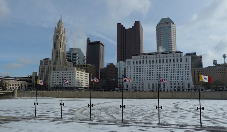
The National Weather Service in Wilmington, OH has provided updates signaling a chilly start to the year, with temperatures well below the seasonal norms anticipated through the coming weekend. According to the National Weather Service's latest report, Ohio Valley residents should gear up for a dry spell despite the freezing conditions. A gradual warming trend is expected, though, kicking in next week and promising much warmer temperatures than those we're currently bracing against.
For those hitting the roads this morning, be advised of a potential slip-and-slide scenario. The aftermath of a thin band of light snow, paired with patchy freezing drizzle, has resulted in some icy patches, particularly concerning on untreated surfaces. "Although the bulk of the pcpn will come to an end by daybreak, residual moisture/ice will pose a problem," the National Weather Service stated, highlighting that caution should be maintained through the morning commute, mainly as temperatures hover in the teens north of I-70 and lower to mid-20s near and south of the Ohio River.
The mercury isn't set to rise very high even as the day progresses, with only a modest elevation of 5-7 degrees expected from the morning lows. Even with some limited sunshine stabbing through the clouds in the morning and early afternoon, it's a bit of a cold comfort to those longing for the warmer days ahead. The winds will dial down and become light and variable, and by mid-afternoon, more clouds are slated to roll in ahead of yet another weak disturbance that might dust central Ohio with some light snow or flurries into the night.
Meanwhile, the turn of the weekend should stay relatively drama-free, weather-wise. "Sfc high pressure will drift into the region tonight into Friday," the NWS report continues, and this will fend off any intruding systems, maintaining dry conditions locally. As for temperatures, they won't stray far from the chilly readings we're nudging today – think upper teens in the north to mid-upper 20s south of the Ohio River. As next week inches closer, though, we can start peeling off a layer or two, with highs expected to climb into the more hospitable realm of the 40s to low 50s.
Travelers and sky-watchers alike take note: aviation conditions should brighten up, with a prompt return to VFR/mostly clear skies forecasted. No significant adverse weather events are on the radar for pilots as we look ahead, sustaining clear runs and likely smooth flying until at least Monday.


