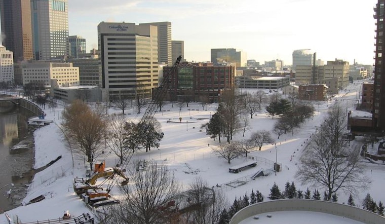
The National Weather Service in Wilmington, OH, brings a chill to the spine for anyone hoping the New Year's weekend might break the cold snap. Instead, the forecast for the Columbus and Cincinnati areas, encompassing the Wilmington region and stretches beyond, drives an expectation of dry conditions with a firm grip on below-normal temperatures through the weekend.
According to the NWS advisory, despite the sky leaving us mostly in the shade with "quite a bit of cloud cover," no rain is expected to dampen spirits today. The temperature, held down by the ever-present cloud, is predicted to hover in the 30s—a crisp reminder that winter isn't quite done with us yet. Playing host to a wedge of surface high pressure, the dry spell is anticipated to persist, albeit with plenty of cloudy overcast to prevent any substantial solar intervention.
Sunday's forecast offers a glint of hope for sun seekers, especially south of I-70, with a promise of "a bit more in way of sunshine during the daytime," courtesy of the National Weather Service (NWS). For night owls, the clearing trend creeps in tonight—almost as an afterthought—setting the stage for thermometers to drop into the teens and lower 20s from north to south, respectively. However, this cool respite is merely an overture to a warming trend slated for the upcoming week, defying the chill that currently enforces its rule.
The long-term prognosis whispers of temperate winds shifting with the forecast pointing to temperatures climbing above normal and rain chances increasing by week's end. The NWS presages, "A low pressure system moves through the Great Lakes Tuesday and Tuesday night," with rainfall possibilities tentatively dusting the forecast, especially for those residing closer to the shortwave's path. Meanwhile, Friday's outlook shrouds itself in a veil of uncertainty, with possible rainfall amounts left undetermined in a tangle of meteorological maybes and what-ifs.
Certainly, aviation interests are not left out of the weather narrative. The upcoming period is set to hold onto "Some mid/high clouds," in a performance that may translate to operational considerations but with "Light N/NE flow around 5-7kts" remaining consistent. Pilots may expect clear sailing for the most part, though a heads-up for "some MVFR CIGs" early Sunday and again Tuesday night ante up for due attention, according to the NWS.


