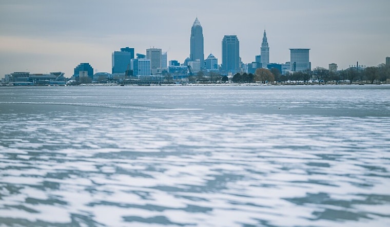
Brace yourselves, Clevelanders; it looks like we’re in for a frosty ride. According to the National Weather Service in Cleveland, a brutal cold snap accompanied by potential lake effect snow is slated to hit the Great Lakes region starting this weekend and carrying on into next week. With high forecast confidence in a severe chill and increased chances of impactful snow, locals in Northeast Ohio and Northwest Pennsylvania should prepare for wintry weather conditions that could disrupt travel and daily routines.
Posted on the NWS Cleveland website, the Area Forecast Discussion details a looming low pressure system traversing the Upper Great Lakes, heralding a spate of scattered light snow showers through Saturday. While temperatures today through early Saturday might tease with a touch of mildness, the mercury is set to plummet sharply thereafter. "The coldest weather and potential for dangerous wind chills is expected Monday through Tuesday," the report warns, with the daytime high in the frigid '10s and overnight lows possibly dipping below zero.
The harsh weather blast will bring more than just bone-chilling temperatures. It signals a clear setup for lake effect snow to make its presence felt. "An Arctic front may bring light snow showers to the area early next week. Impactful lake effect snow is possible late Sunday night through Tuesday night for far Northeast Ohio and Northwest Pennsylvania," as NWS Cleveland illustrates. Initially targeting southwestern New York, the snowfall is expected to shift with the winds, potentially pummeling areas downwind of Lake Erie.
Over in the skies, aviation is likely to face visibility challenges with potential restrictions persisting across the eastern parts of the state. "VFR across the TAF sites this morning with deterioration to MVFR and IFR from west to east in low ceilings and vsbys from snow this afternoon and evening," the NWS Area Forecast Discussion notes, suggesting travelers keep abreast of the latest updates.
On the waters, mariners in the central and eastern basins of Lake Erie are advised to stay vigilant, as the forecast is anything but smooth sailing. Gusty south to southwest winds will climb to 25-30 knots by Sunday, potentially reaching gale force into Monday and Tuesday. With an arctic airmass on course to intensify by Monday, the stage is set for heavy freezing spray to add to the hazards. "Winds will subside slightly to 20 to 25 knots and favor a southwest direction by Wednesday," according to the NWS Cleveland, which offers a silver lining for those at sea once the storm has passed.
It’s a time to heed warnings, to layer up, and perhaps most importantly, to look out for each other as winter shows its might. Stay warm, stay informed, and stay safe, Cleveland.


.jpg)