San Diegans will be reaching for their hoodies and umbrellas as cooler temperatures and light showers are expected to roll through the region into the early weekend. According to statements from the National Weather Service San Diego, "Temperatures begin to cool Wednesday as low pressure develops off the coast," with the chill set to intensify through Friday, likely marking the week’s coldest day.
The forecast isn't only about cooler air, however. There's a chance of showers starting Thursday and persisting through Saturday, with the bulk of the rain expected on Friday. Developing off the California coast, the low-pressure system is moving towards the southeast and is expected it move inland across northern Baja by Friday night. Despite the looming gray, NWS officials also predict that the marine layer is deepening, bringing with it dense fog advisories, notably "reducing vis 0-5SM will continue this morning" until 9 AM for parts of Orange County and inland toward the Empire-San Diego County areas.
Rainfall, while not tipped to be torrential, could still bring one-tenth to one-quarter of an inch near the coast, and one-quarter to one-half inch in the mountains — with a slight chance for areas receiving over one-half inch of rainfall," according to a National Weather Service San Diego report. Snow lovers will have to remain patient, though, as snow levels will be hovering around 6500 to 7000 feet.
Blustery conditions will do little to encourage outdoor dining, with high temperatures on Friday in a nippy, lower-to-mid-60s range for coast and valley residents, and marginally toastier temps in the lower 70s for desert dwellers. As the weekend progresses, showers may linger into Saturday, giving way to drier and warmer weather starting Sunday. Those looking forward to sunnier skies can expect "significant lower level drying with periods of mostly weak offshore flow" and high temperatures slowly creeping back up to mid to upper 60s near the coast and lower to mid-70s for the valleys early next week.
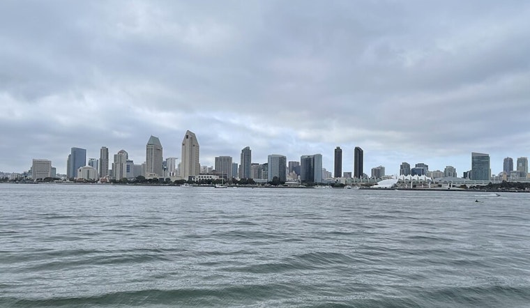
Traveling through foggy patches, mariners can breathe easy, as the current marine conditions are forecasted to remain hazard-free through Sunday. As always, weather spotters are encouraged to report significant conditions, although Skywarn activation is not requested at this time.


