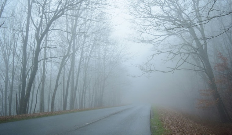
The National Weather Service in Memphis has issued a Dense Fog Advisory effective until 10 AM CST this morning. Visibility is expected to be less than one half mile due to the dense fog that has settled across portions of East Arkansas, North Mississippi, Southeast Missouri, and West Tennessee. Motorists should be aware of the potential hazards posed by the limited visibility, as per the NWS forecast.
After the fog lifts, a mostly sunny day is anticipated with a calm breeze turning east northeast around 5 mph and a high near 65 degrees. The forecast for tonight predicts mostly cloudy skies with a low around 54 and a gentle south southeast wind. On the move, there's a 40 percent chance of showers beginning Thursday afternoon, potentially escalating to darker skies and storm conditions by the nightfall with strong winds and gusts reaching up to 30 mph.
The weather pattern suggests showers and possible thunderstorms will persist through Friday, with an 80 percent chance of rainfall. Rainfall amounts could range between a quarter to half an inch. The tension between the balmy daytime highs near 71 and a significant drop in temperatures by Saturday night to lows around 33 degrees indicates a passage of a weather front.
Residents should anticipate a cool down with the weekend bringing mostly cloudy conditions and a high near 56 on Saturday. The Dense Fog Advisory, issued by the National Weather Service, warns that low visibility could make driving conditions hazardous.


