Denver residents woke up to chilly temperatures and the prospect of snow, with the National Weather Service (NWS) Denver/Boulder forecasting a snowy Sunday for the area. At 5:58 am MST, the last update detailed partly cloudy skies with a frigid 8°F, or -13°C for those using the metric system, and a smattering of snowflakes likely to fly between noon and 2 pm. Today’s high is expected to hover near 19 degrees with wind chill indices sinking as low as -1, according to the National Weather Service.
Tonight, while Denverites dreaming under clouded skies and accumulating further icy layers might see less than a half inch of new snow, there's a 30 percent chance of more snow, wrapping up before 11 pm. The breeze is set to lighten up, perhaps even taking some of the bite out of the -4 low, with NWS predicting wind chill values could plummet as low as -14. Come Monday morning, the city should shine under a sunny sky with highs around 47 degrees, though with a wind chill that could feel as frosty as -9 early in the day.
The outlook for the coming week seems to offer a respite from the arctic grip, as temperatures are on the upswing. Tuesday promises partly sunny conditions with a high flirting with 49 degrees, and Wednesday ups the ante with bright skies warming up to a more comfortable 53. The forecast, available through the NWS website, shows no major snowstorms on the horizon post-Tuesday, which should come as welcome news for commuters and those tired of the persistent cold.
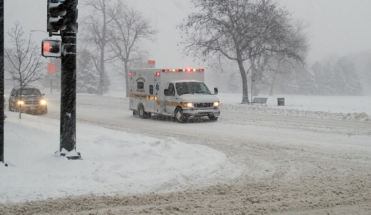
In their routine Hazardous Weather Outlook, the National Weather Service warned of well below normal temperatures today and tonight, stating light to moderate snow is expected to develop across the mountains through this evening, with difficult travel possible. Safety seems to be primary, with no spotter activation needed, but the NWS values snowfall reports, which are "greatly appreciated." This report, broadly covering northeast and north central Colorado, underscores how the looming arctic airmass will cling to the region through Monday morning, bringing increasingly likely light snowfall across Denver's vicinity, which could leave a dusting to a few inches, mainly along and west of I-25.


_Denver,_Colorado,_December_20,_2006_-_Denver_was_on_accident_alert_as_a_blizzard_hits_Denver_with_up_to_28_inches_of_snow._FEMA-Michael_Rieger_-_DPLA_-_6380ecae4315dc44f289e96bd3723778.jpg)