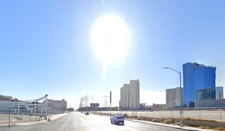
As the sin city braces itself for what appears to be a stretch of dry and warming conditions, Las Vegas residents can expect to wholly enjoy a reprieve from the chill of winter in the coming days. According to the National Weather Service in Las Vegas, a high pressure building over the southern Great Basin post a mild disturbance looks to introduce a period of respite with an uptick in temperatures 5-10 degrees above the seasonal norm.
The latest from the forecast hub suggests northerly breezes are set to sweep across the Vegas terrain today, nudging the needle of probability for gusts reaching 30-40 mph to a sturdy 70%. This blustery guest does not come solo but could likely bring along increased waves, particularly stirring the southern end waters of Lake Mohave. Boaters should venture out on the lake fully prepared to cautiously counter this usually unseen force.
While tomorrow looks to quell winds in most nooks of the region, those navigating through the Colorado River Valley might still catch their sails flapping to a lesser rhythm. Moving forward, the weather narrative for Las Vegas remains quiet and mild, promising clear skies over Harry Reid until at least next Wednesday, with "light northwest winds this morning will turn northeast (020-030 degrees true) by midday," as per the NWS discussion. Pilots can bank on a smooth ride with the ceiling holding "FEW to SCT high clouds with bases AOA 15kft AGL."
Residents further afield in southern Nevada, northwest Arizona, and southeast California are forewarned of the enhanced north winds along the Colorado River Valley today, as it is expected gusts might boldly aim to reach around 30 knots near KIFP and, to a less aggressive extent, at KEED. "Winds in these areas will diminish after sunset," the NWS notes, while also foretelling a somewhat turbulent night with potential gusts up to 20 knots. Beyond the bluster, VFR conditions will reign, with "passing bands of FEW to SCT high clouds with bases AOA 15kft AGL."
The local weather aficionados and official spotters are prompted to stay vigilant. The National Weather Service sees value in the engagement of the community, urging spotters to report any significant weather events or impacts aligned with standard operating procedures.


