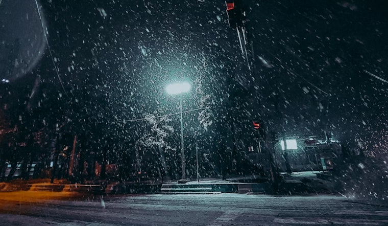
The National Weather Service reports that residents in Milwaukee and surrounding areas can expect a wintry mix of snow, sleet, and freezing rain. Today will see increasing cloud cover with a high near 29 degrees. Freezing rain and sleet are expected to begin mainly after 5 p.m., with a 40% chance of precipitation. Conditions may worsen in the evening, with a 50% chance of ongoing snow, sleet, and freezing rain before 10 p.m., potentially creating slick roads into Monday morning.
The NWS has issued a Hazardous Weather Outlook for areas north of I-94 due to the potential for hazardous conditions. The advisory states that freezing drizzle may occur tonight across much of southern Wisconsin. Drivers are advised to exercise caution, as slick spots on roads may develop and visibility could be reduced to around 10 miles.
The week’s forecast indicates changing weather patterns. Monday is mostly cloudy with temperatures reaching around 38 degrees. From Tuesday through Saturday, there is a 40% chance of rain, with overcast conditions throughout the period.
Towards the end of the week, the forecast shows partly sunny days and partly cloudy nights. Wednesday is mostly sunny with a high near 42 degrees, while nighttime skies will be partly cloudy with a low around 34 degrees. Thursday will see increasing cloudiness, with a 20% chance of rain extending into the weekend.
Residents in areas around Marquette, Green Lake, Fond du Lac, and Sheboygan are advised to monitor weather updates. While spotter activation is not expected to be necessary, staying informed as conditions develop is recommended.


