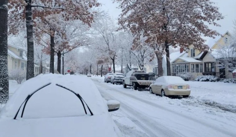
Minneapolis residents are being advised to brace for a spike in hazardous weather conditions, as the National Weather Service in Twin Cities/Chanhassen issued an alert early Tuesday. According to the weather service, wind chills this morning are expected to drop between 15 and 25 degrees below zero, posing a significant risk to anyone outdoors. Subsequently, a fresh batch of snow is predicted to sweep across western to southern Minnesota later in the day, potentially layering I-90 with up to two inches of accumulation.
The cold spell is forecasted to linger, with the Weather Outlook for Minneapolis, MN, indicating an approaching round of light snow for Wednesday afternoon. Commuters should expect mostly cloudy skies with a 60% chance of snow post-noon, and new snow accumulation of less than a half inch predicted. Surges as high as 25 mph could accompany the southwest winds, further intensifying the weather scenario.
As the week progresses, temperatures are set to plummet even further. The alert cautions of "even colder temperatures to end the week," with wind chills potentially diving to near 40 below zero on Saturday. This forecast comes as locals are still grappling with the extremes of this season's winter conditions.
The weather will continue its frosty trend through the end of the week, with temperatures on Friday hitting a high near a biting -7 degrees, with further lows around -19 degrees Friday night. The cold blast is set to ease slightly over the weekend, though Minneapolis will still face chilly highs slightly below zero until Sunday, where a peak near 8 degrees is expected, the south wind 5 to 10 mph becoming west in the afternoon. Residents are encouraged to take precautionary measures, bundling up and minimizing exposure to the cold.


