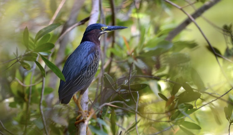
Fresh federal maps have dropped Santa Ana National Wildlife Refuge right back into the political crosshairs. New designs show a barrier plotted along the levee that borders the refuge near Alamo, and local conservationists warn the placement would fundamentally change how the park connects to the Rio Grande. For a refuge that squeezes roughly 2,000 acres of river-forest, rare mammals and hundreds of bird and butterfly species into a compact footprint, even a short fortified stretch could have outsized consequences.
Maps Zero In On The Levee Line
Published designs and local reporting indicate U.S. Customs and Border Protection has identified a short segment along the levee for a wall or fencing, along with the enforcement infrastructure that usually comes with it. As reported by WATE, the drawings have set off fresh alarm among visitors, refuge volunteers and nearby towns, in part because the proposed barrier appears to run right up against protected tracts.
Conservationists Warn Of A Wildlife Trap
“A new border wall would keep wildlife in the refuge from getting out and could cause drownings during river floods,” said Jim Chapman, vice president of the Friends of the Wildlife Corridor, who has been walking reporters and officials along the levee to point out where surveys and stakes have recently appeared. Local coverage that republished Border Report’s reporting has documented Chapman’s concerns and the visible survey work on and near refuge lands. Fox6 and other outlets have carried his on-the-ground observations.
Why A Short Wall Could Do Big Damage
Santa Ana’s small size hides its ecological punch. Conservation groups note that the refuge supports hundreds of bird species, scores of butterflies and critical habitat for federally listed animals, and they argue that a levee-line barrier typically brings a wider enforcement footprint that slices up what little river-forest is left. NRDC and other advocates say the roads, cleared enforcement zones and bright lighting that accompany new barriers often make the ecological impact far larger than the fence itself.
Past floods have left parts of the refuge under water for months, and reporting on earlier construction episodes documented animals trapped or killed in inundated areas, a risk residents fear would grow with permanent walls in place. Los Angeles Times coverage has detailed those flood-related wildlife losses in earlier rounds of building.
Old Protections, New Funding Fights
Negotiators have carved out protections before. A 2019 spending agreement explicitly excluded Santa Ana and several nearby historic sites from wall construction, according to Defenders of Wildlife. That precedent looms large for advocates now because the new maps, and the political fight over appropriation language, will decide whether those or similar protections survive the latest budget talks. With funding decisions in Congress moving quickly, conservation groups say there is not much room for error.
Fast-Track Laws And Federal Waivers
Environmental lawyers note that border projects have previously leaned on statutory authorities and waivers to speed construction and narrow environmental review. That legal shortcut can blunt local objections and accelerate ground disturbance in particularly sensitive places. NRDC has documented how those tools were used in past projects and warns they could be pulled off the shelf again, which is why local groups are watching both the maps and the funding text so closely.
Local Pushback And What Comes Next
Local organizers and refuge supporters have mounted campaigns before, and members of the region’s congressional delegation have a history of trying to shield these sites. Rep. Henry Cuellar’s office notes he secured language in past proposals that blocked barrier funding within or north of sensitive tracts including Santa Ana and the National Butterfly Center. Rep. Cuellar’s office has highlighted that effort as part of his appropriations work. Organizers with Friends of the Wildlife Corridor and other groups say they will again press lawmakers to preserve exemptions and to demand any environmental mitigations that might be required.
For now, the new maps and tight budget timetable have turned the tiny refuge back into a national test case. The open question is whether officials can safeguard both border operations and the last stands of Rio Grande river-forest, or whether the levee will become a hard line that severs habitat and public access. Local advocates are watching this week’s budget negotiations closely and plan to keep the spotlight on Santa Ana as negotiators and agencies make decisions that could become the final word on what gets built, and where.


