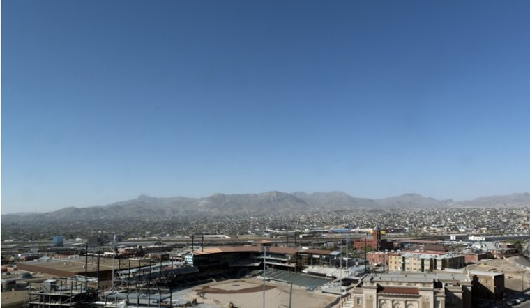
El Paso is waking up on the chilly side Thursday, with temperatures hovering around 32°F at El Paso International Airport and clear blue skies already in place. The day will stay bright and quiet, with a high near 62°F, then a steady warm‑up kicks in Friday and into the weekend as afternoons climb into the upper 60s and low 70s. Light east winds will keep things feeling calm and dry across most neighborhoods.
Sunny Stretch Through Saturday
A ridge of warmer air is building over the Borderland, and forecasters expect highs near 68°F on Friday and about 71°F on Saturday. There are no watches or warnings posted right now, and outdoor plans look to be in great shape through Saturday, with only light east to east‑northeast breezes on tap. For the latest official forecast details, check the National Weather Service.
Small Rain Chance Late Sunday Into Monday
Forecast models bring a Pacific low toward northern Mexico late Sunday into Monday, giving the Borderland a 20–30% chance for scattered showers, mainly Sunday afternoon into Monday morning. The forecast discussion notes that "snow levels will remain at 9000 ft or above," so any mountain snow would be limited to the highest peaks. Temperatures are expected to dip slightly with that system, although impacts appear limited at this time, according to the National Weather Service.
Plan Ahead
Enjoy the warm, sunny afternoons on Friday and Saturday, but it is smart to keep a backup plan for Sunday events, as that small chance of showers could still nudge outdoor gatherings. Fire weather concerns remain low overall, although relative humidity may drop into the low teens in some areas on Thursday and Friday. Therefore, avoid open burning and exercise extra caution with outdoor grills.


