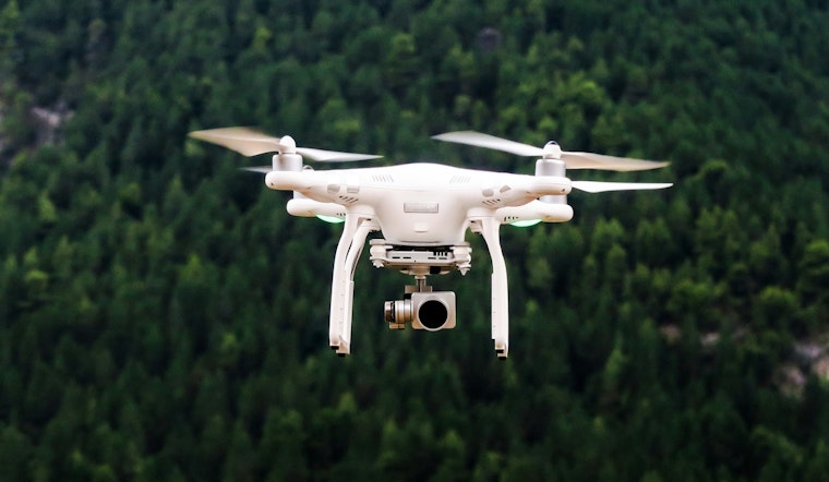
The ever-expanding use of drones for both kicks and commerce has led to an array of guidelines set out by the Federal Aviation Administration (FAA), aimed at keeping the skies safe. Drone operators, be they hobbyists or professionals, are subject to an intricate web of rules that dictate where, when, and how these unmanned aircraft can take flight. The basic rundown for anyone looking to pilot a drone is available on the FAA's website, detailing all you need to know about drone safety, airspace restrictions, registration demands, and the distinction between recreational and commercial flying.
Seeking to streamline the process for drone enthusiasts and commercial operators alike, the FAA put out the "B4UFLY" mobile app. It's a nifty piece of tech that dishes out real-time information on airspaces and temporary flight restrictions, alongside providing location-based safety guidance. According to the City of Clayton's official announcement, it's not just a recommendation but a strong urge for operators to consult this app before their drones leave the ground. This ensures they stay on the right side of regulations and prevents any sky-high mishaps.
Residents are encouraged to follow local drone regulations to avoid disruptions in Clayton. For questions or guidance on drone use, the Clayton Police Department can be contacted at (314) 645-3000. In emergency situations involving drones, residents are advised to call 9-1-1.


