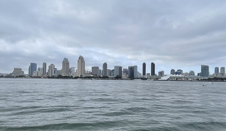
San Diego woke up Monday to a classic coastal mash-up: fog and mist shrouding Lindbergh Field (KSAN) with temperatures near 55°F, while inland neighborhoods are set for mostly sunny skies and highs around 70°F. Along the coast, patchy fog is expected to redevelop after 1 p.m. and return overnight into Tuesday morning, briefly cutting visibility on coastal roads and near beach access points. At the same time, the National Weather Service has High Surf and Coastal Flood Advisories in effect for San Diego County through 10 a.m. PST Tuesday with 3 to 6 foot breakers and local sets up to 8 feet riding on top of higher-than-average morning tides.
Coastal Hazards Through Tuesday Morning
According to the NWS San Diego, the mix of large surf and elevated tides will likely produce minor flooding in low-lying beach parking lots, parks, and roads during the morning high tides. At La Jolla, high tides are forecast in the 5.9 to 6.3 foot range around the morning highs, and surf is expected to gradually ease on Tuesday. Officials warn of dangerous swimming conditions, strong rip currents, and the possibility of isolated road closures on low-lying shorefront streets.
Foggy Mornings, Sunny Afternoons
The marine layer will keep low clouds and areas of patchy to locally dense fog hugging the shoreline, especially in the pre-dawn hours and again tonight into Tuesday morning. Drivers on coastal routes should budget extra time and be ready for slower traffic near beach access points. Travelers and pilots at Lindbergh Field may see brief periods of reduced visibility and low cloud ceilings. Farther inland, the day will warm up nicely, with pleasant, mostly sunny conditions for afternoon plans.
Beach Safety And Rip Currents
Lifeguards are warning that rip currents will be strong during this high-surf stretch, and swimmers are urged to stay out of the water and follow posted warnings and lifeguard instructions. For safety tips and the latest rip current guidance, visit the City of San Diego Lifeguards.
Looking Ahead
Temperatures will climb Tuesday and Wednesday, with a notable warm-up and periods of offshore Santa Ana winds expected Wednesday into Thursday. Those winds could bring gusts in the mountain passes and push inland highs into the low 80s on Wednesday. Cooler onshore flow is expected to return Friday into the weekend, easing the marine layer influence and knocking daytime temperatures back down. Keep an eye on updated forecasts if you have outdoor plans or are heading to the coast.


