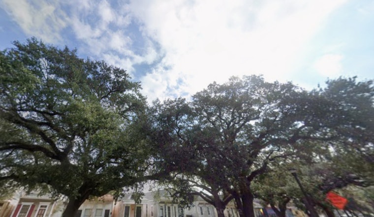
New Orleans woke up mild and mostly clear Wednesday, with temperatures near 64°F at the Lakefront, but pockets of dense fog have already turned parts of the morning commute into a slow crawl. Skies are expected to turn mostly sunny by midday, with highs near 76°F, light west winds and warmer-than-normal temperatures hanging on through the week, as reported by the National Weather Service.
Foggy Mornings, Sunny Afternoons
A Dense Fog Advisory is in effect until 8 AM CST Wednesday across land portions of the metro and until noon over nearby waters. Visibilities could drop to a quarter mile or less, so drivers should allow extra travel time and stick to low-beam headlights during the morning commute, according to the National Weather Service. Once the fog burns off, conditions should improve to mostly sunny by late morning, with highs landing in the mid 70s.
Weekend Severe Weather Watch
Forecasters are keeping a close eye on a system that could bring organized storms late Saturday into the early hours of Sunday, with the biggest concern coming overnight when many events and parades are scheduled. The setup could produce strong, fast-moving lines capable of damaging straight-line winds and brief tornadoes, so local organizers and parade-goers should have backup plans and monitor updates, as flagged by organized storms late Saturday.
Boaters And Event Planners
On the water, south to southeast winds are expected to pick up Saturday afternoon into Sunday, with gusts that could reach 15 to 25 mph and choppy seas. Those conditions may prompt Small Craft Advisories. Inexperienced mariners and shore-side event planners should avoid nonessential offshore trips and keep an eye on updates from the National Weather Service.
What To Expect This Week
Apart from the morning fog and a couple of isolated shower chances Wednesday and Thursday, the rest of the week looks warm, with highs in the low to mid 70s and overnight lows in the upper 50s. Anyone traveling or heading to late-night events Saturday into Sunday should check forecasts frequently, since both the timing and intensity of the weekend system could shift as forecast models refine the track.


