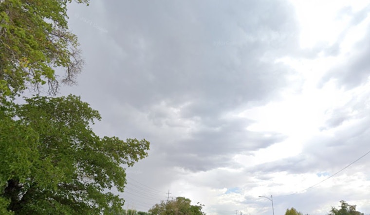
Portlanders woke up Friday, to cloudy skies and mid-30s chill, with Portland International Airport clocking in near 37°F. Patchy fog and low clouds early in the day could leave bridges and overpasses slick for the morning commute before things ease up a bit toward midday.
Forecast Through Monday
Friday is expected to stay mostly cloudy, with just a slight chance of a midday shower and a high near 46°F. After midnight, rain is likely to pick up, with lows settling in the mid-30s.
Saturday, Feb. 21, looks like a classic gray Portland day, with steady light rain and a high around 47°F. By the end of the day, rainfall totals could land somewhere between a quarter and a half inch, before the wettest stretch shifts into Sunday and Monday. Late Saturday into Sunday, evolving pressure patterns also increase the odds of gusty east winds through the Columbia River Gorge and a period of steadier, more widespread rain early next week. For the latest timing, watches, and expected amounts, check the National Weather Service Portland.
Gorge Gusts And Marine Watches
Late Saturday night into Sunday, an amplified offshore low could funnel strong east winds through the Gorge. Forecast guidance has suggested gusts in the 40 to 50+ mph range in the western Gorge, with 30 to 40 mph gusts possible across eastern Portland and the I-205 corridor.
Out on the water, a Hazardous Seas Watch and Gale Watch remain in effect for portions of the outer waters and the Columbia River bar into Sunday morning, with a modest chance of isolated storm-force gusts offshore. If you are planning to drive I-84 through the Gorge or head out on a boat, check conditions before you go. The Oregon Department of Transportation’s TripCheck site and local marine forecasts will have live updates.
Plan For Commutes And Outdoor Gear
Residents should secure loose patio furniture and outdoor gear ahead of the strongest winds, avoid driving high-profile vehicles across exposed bridges during the peak gust window Saturday night, and allow extra travel time on I-84 and I-205.
There is a small chance of minor hydrologic impacts in the Coast Range early next week if heavier rain bands set up there, though widespread river flooding is not the main concern at this time. For a look back at the recent wet pattern and earlier advisories, see our coverage of Portland’s icy wake-up and soggy weekend.


