Knoxville woke up in the soup this morning, Thursday, February 26, 2026, with dense fog and mist cutting visibility as temperatures hovered near 50°F. A steady band of showers and scattered thunderstorms is rolling through the valley, keeping the morning and midday commute on the wet side while the high tops out near 60°F. Drivers should expect slower travel and patchy visibility during the rush.
Morning Downpours And Flood Risk
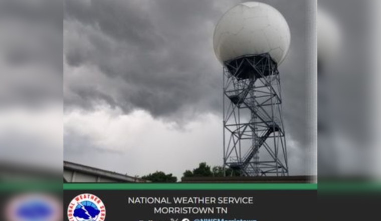
According to the National Weather Service in Morristown, most spots are on track to pick up at least 1 inch of rain through the morning, with areas along and near Interstate 40 potentially seeing 2 inches or more. That kind of soaking, paired with fog and poor drainage in some neighborhoods, is enough to cause ponding on low-lying roads and localized flooding. If you run into standing water, turn around; even shallow stretches can stall a vehicle or hide hazards.
Afternoon Clearing And Weekend Warm-Up
Rain is expected to taper from north to south this afternoon, with conditions improving to mostly cloudy by late day. Forecasters are calling for a dry, mild run from Friday through the weekend, with afternoon highs in the mid-60s. For more on the weather pattern driving this week's wet setup, check out the earlier look at the springlike soaker and Smokies wind whiplash.
Commute Tips
Give yourself extra time on slick roads, flip on low-beam headlights in the fog, and steer clear of any flooded sections. If you are traveling on or near I-40, it is worth checking local traffic updates before you head out. For outdoor plans later today, keep a rain layer close; by Friday, skies should be cooperative enough for most outdoor activities.


