Oakland rolled in today under a gray, soggy sky, with overnight showers leaving streets damp and fog hugging the bay. Temperatures are mild, with a low around 55°F this morning and a high near 65°F, though many neighborhoods may slip into the low 60s by late afternoon. Patchy fog should thin by mid-morning, but drivers can expect reduced visibility on bridges and in low-lying valleys.
Today's Forecast
Showers should taper off through the morning, although terrain-favored spots such as the Berkeley Hills and southeast-facing coastal slopes could still pick up a tenth to a quarter-inch of rain. Most of the Bay Area will stay mostly cloudy, with light south-to-west winds under 5 mph and patchy fog before 11 AM. According to the National Weather Service, conditions will dry out later today as a gradual warming trend gets underway.
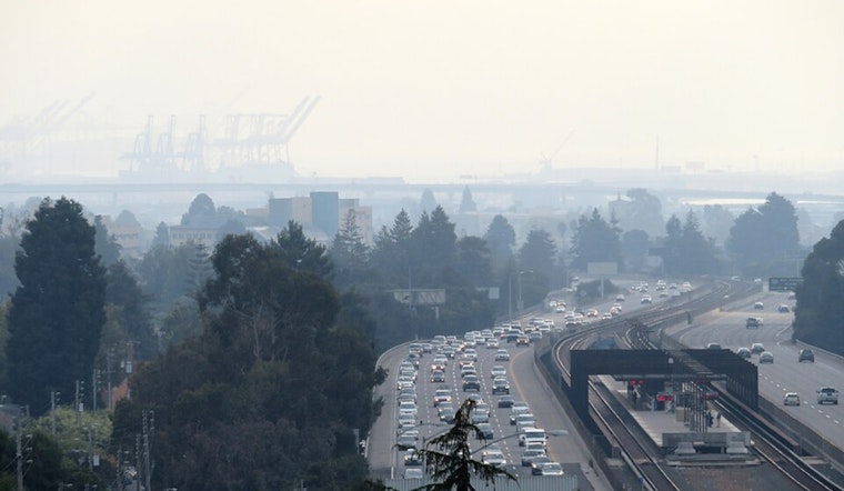
What This Means For Your Commute
Plan for a slower-than-usual morning drive, with fog and standing water lingering. Give yourself extra time, leave more space between cars, and stick to low beams in the soupy stretches. Earlier coverage showed heavier rain bands and minor street ponding on Tuesday; see our earlier story: Tuesday's soaked commute. Ferry runs and SFO flights may see modest delays as visibility and winds wobble through the morning.
Looking Ahead
Warmer, drier weather is expected Thursday and Friday, with highs climbing into the upper 60s to low 70s inland, and Friday likely shaping up as the warmest day of the week. Forecasters at the National Weather Service say a weak low could clip the North Bay Sunday into Monday, bringing only light rain chances and a cooler weekend for most neighborhoods. Keep an eye on local forecasts if you have outdoor plans later this weekend.


