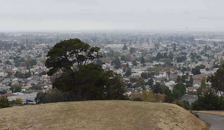
Oakland started the workweek under a blanket of patchy fog this morning, with temperatures stuck in the upper 40s to low 50s. The gray veil should lift by mid‑morning, trading in for sunshine and a comfortable trip into the mid‑60s. Light winds will keep the afternoon calm and pleasant, but that quiet stretch will not last. Rain is expected to move in late Monday night and turn steadier on Tuesday, setting up slick roads and slower-than-usual commutes during the peak drive. Boaters and ferry riders will want to keep a close eye on changing conditions tonight.
Morning Fog, Warmer Afternoon
Patchy fog is forecast to linger along the bay before 8 AM, then gradually give way to partly sunny skies. Most Oakland neighborhoods should top out around 65–67°F, with inland spots running a couple of degrees warmer than the shoreline thanks to light southeast breezes. According to the National Weather Service, Monday stays mostly dry before the next system arrives late tonight.
Rain Returns Monday Night Into Tuesday
Showers are expected to develop late Monday night, with rain becoming more widespread tomorrow and an elevated chance of steady precipitation throughout the day. Forecast guidance points to roughly a half‑inch or more in some areas on Tuesday, with the North Bay favored for the highest totals and the greatest risk of localized ponding and urban flooding, particularly where street drains are clogged. That could translate to soggy commutes and slower transit.
Boats, Ferries, and the Commute
Southerly winds are forecast to build tonight into Tuesday, which has prompted Small Craft Advisories for parts of the northern waters through mid‑Tuesday. Small vessels should avoid exposed areas and check conditions with operators before heading out. Ferry service may run behind schedule during the heaviest rain and gustier winds, and drivers should expect reduced visibility and areas of standing water, so slowing down and allowing extra travel time will be the smart play. After tomorrow, a drying, warming trend should take over, with temperatures rebounding into the upper 60s by midweek.


.jpg)