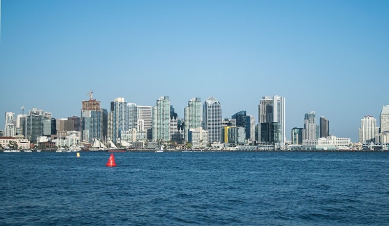
San Diego got a little taste of early-season heat today, with sunshine and warmth pushing many neighborhoods into the upper 70s and a few spots flirting with 80°F under mostly sunny skies. The overnight and early-morning Santa Ana gusts that rattled parts of the county have mostly relaxed by midday, leaving behind dry air and clear views. The forecast is not entirely boring, though, with some lingering gusty pockets this morning, a slight chance of mountain showers tonight, and a building ocean swell lining up for late Friday into Saturday.
Afternoon Temperatures
Highs this afternoon landed near 80°F in some areas of the county, while coastal neighborhoods ran a bit cooler and inland valleys stayed on the warm side. Tonight will be milder than the last few nights, with lows around the mid-50s along the coast and a few degrees cooler in more sheltered inland spots. A cooldown moves in on Friday, with highs expected to drop into the upper 60s in many locations.
Winds And Advisories
According to the National Weather Service San Diego, a Wind Advisory covered mountain slopes and inland areas into the midday hours, as morning gusts climbed to around 35 mph, with isolated bursts of 45 to 55 mph in more exposed passes. Forecasters expect those gusts to ease through the afternoon, but drivers of high-profile vehicles are urged to take it slow and make sure any loose outdoor items are tied down. There is also a slight chance of light mountain showers late tonight into Friday afternoon.
Beaches And Boaters
A long-period northwest swell is on track to build late Friday and peak into Saturday, bringing elevated to high surf of about 5 to 8 feet, with some west-facing beaches seeing sets up to 10 feet. Southern San Diego beaches are expected to be the most vulnerable. Minor tidal overflow could show up in low-lying sand and shoreline areas during the evening high tides from late Friday into early Saturday, and waters near the San Diego Bay entrance may turn steep and rough at times. Boaters and anyone heading to the shoreline should steer clear of unprotected areas and follow lifeguard instructions once the swell arrives.
Weekend Outlook
The period from this weekend through Monday looks drier and generally warmer, with Sunday ticking up a few more degrees and inland highs returning to the 70s. Forecasters at the National Weather Service San Diego say low-pressure systems dropping in from the northwest could boost rain chances by Tuesday into Wednesday next week, although the exact timing and rainfall amounts remain uncertain. For now, anyone planning outdoor events may want to factor in the Friday and Saturday surf conditions and keep an eye on updated forecasts.


