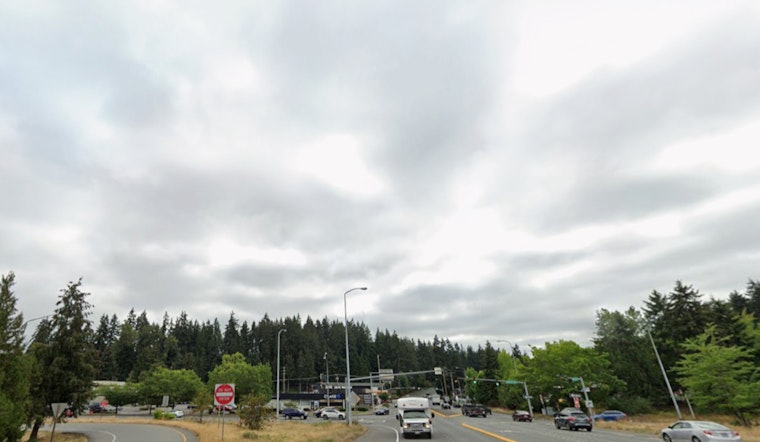
Seattle started Saturday, February 14, 2026, under a blanket of low clouds, with temperatures near 43°F and a slight chance of light rain through the late morning. Most neighborhoods will see only sprinkles or drizzle before conditions dry out into the afternoon, with a high near 47°F. A light jacket should cover the morning commute, and skies are expected to stay mostly cloudy.
What To Expect Today
Light rain is possible before 4 p.m., with new rainfall generally under a tenth of an inch and daytime temperatures holding in the mid to upper 40s. Showers will favor higher terrain later in the day, while lowland neighborhoods mostly deal with drizzle and thick cloud cover. For background on the system that rolled through Friday, see our Friday's soggy setup.
Monday, February 16, And The Week Ahead
A stronger pattern arrives Monday, February 16, bringing colder air aloft and lower snow levels. Expect "snow levels at 1,000 to 1,500 feet," which will turn mountain precipitation to all snow and raise the chance of rain and snow mixes in the lowlands Monday into midweek, according to the National Weather Service. Highs on Monday will struggle into the low 40s, and the unsettled, cooler pattern is likely to hang around through the week.
Commutes, Passes And Boats
Wet roads this morning mean drivers should leave a little extra time for the commute, as drizzle and reduced visibility can slow surface routes. If you plan to travel over the mountain passes this week, monitor WSDOT for chain or traction advisories, since periods of snow and mixed precipitation could slow or briefly close the passes. Boaters should expect choppier offshore conditions by Monday night and should check local marine forecasts before heading out.


