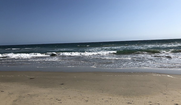
Southern California’s shoreline has been quietly putting on weight. A new statewide analysis of satellite imagery finds that, on balance, SoCal beaches have actually widened over the past four decades, adding roughly 500 acres of dry sand along the coast. The study tracks the shoreline from 1984 through 2024 and shows a coastal landscape where some marquee beaches have ballooned while others are steadily shrinking, a patchwork that is already reshaping how planners, insurers and developers think about coastal risk and property buffers.
The findings appear in a paper in Nature Communications, where researchers used new satellite-derived shoreline methods to measure beach width across California. The paper reports a net increase of about 2 million square meters (roughly 500 acres) of dry beach area in Southern California between 1984 and 2024, and notes that about 49 percent of the shoreline widened while about 31 percent narrowed over that same period.
Coauthors from the University of California, Irvine say the pattern is anything but uniform. Beaches backed by harbors, jetties or regular sand-replenishment projects have swelled, while parts of the Zuma and Oceanside littoral cells, including stretches near San Clemente, San Onofre and Doheny, have logged some of the sharpest losses. UC Irvine researchers describe the result as "counterintuitive" given the region’s dams and heavy development, and point out that the new satellite tools let scientists track shoreline change much more frequently than older techniques. UC Irvine News highlights both the surprise and the uneven nature of the gains.
Human fingerprints and uneven sand distribution
The lead author frames the net widening as a redistribution of sand driven largely by people, not a natural coastal comeback. "What looks like regional stability or growth is actually driven by a small number of beaches that are expanding due to direct human actions," USGS research geologist Jonathan Warrick said, and the U.S. Geological Survey notes that the paper recommends expanding sediment-bypass systems and targeted redistribution to protect erosion hotspots. According to the U.S. Geological Survey, these engineered or managed sediment stores explain much of the localized growth that is propping up the regional totals.
What this means for property owners and cities
For coastal homeowners and local governments the message is mixed. Wider beaches can offer a real buffer against storms and sea-level rise, but when those gains are concentrated at a handful of engineered sites they can intensify erosion pressures farther down the coast and complicate risk models for insurers and planners. Industry and local outlets are already folding the study into coastal risk assessments, and The Real Deal notes that shifting sand creates clear winners and losers in beachfront markets.
The authors released data and code alongside the paper so managers and cities can pinpoint where redistributing sand might buy the most protection. The work does not change the basic long-term reality of sea-level rise, but it does hand coastal agencies new, higher-resolution tools for deciding where interventions such as bypass systems or beach nourishment are most likely to pay off, according to Nature Communications.


