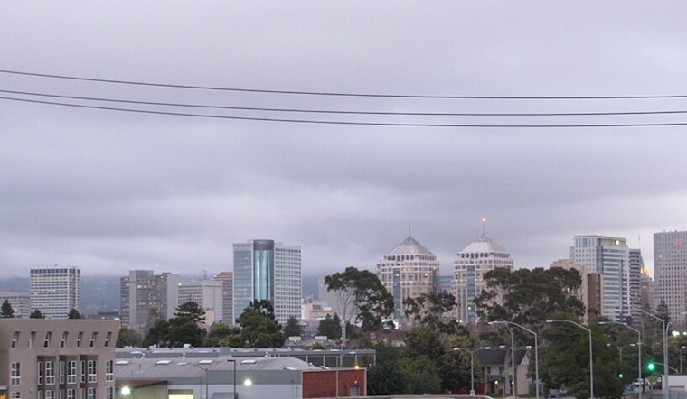
Fog made for a gray, soggy wake-up in Oakland and San Francisco today, but that was just the warm-up act. Rain is set to move in tonight and spread across the Bay Area tomorrow, kicking off a stretch of storms that will linger through much of next week with gusty winds and mountain snow. The heaviest rain is expected tomorrow night into Monday, with another colder, windier punch late Monday into Tuesday that could snarl travel.
What To Expect This Weekend
Saturday stays mild, with patchy fog before 10 a.m. and a mostly cloudy high near 60°F. Winds will be light for most of the day, then pick up tonight, when gusts of 20–30 mph are possible in exposed hills. Rain chances climb later today evening until tomorrow, and the first moderate batch of showers should arrive tomorrow, potentially dropping a half‑inch or more in many neighborhoods overnight. According to the National Weather Service, tonight is the last largely dry night before a prolonged wet pattern settles in.
Sunday Night Into Midweek
Showers and thunderstorms are likely tomorrow night, with the heaviest rain expected between about 7 p.m. and 1 a.m. Urban spots could see roughly 0.75–1.0 inches of rain overnight, with higher totals in the coastal ranges. Monday (Washington’s Birthday) brings widespread rain and gusty south‑southeast winds, followed by a colder system Monday night into Tuesday that keeps things wet and windy. Snow levels will drop to around 2,000–3,000 feet by midweek, raising the chance of light snow on the highest local peaks and making mountain roads slick.
Marine And Travel Impacts
Out on the water, mariners should pay close attention to Small Craft Advisories and a Gale Warning in place for parts of the Central Coast tomorrow, with rough seas and strong southerly winds offshore. The Bay itself is likely to turn choppy, and Small Craft Advisories will be in effect north of the Bay Bridge during parts of Sunday. Along the coast, expect dangerous surf and an elevated rip‑current risk. On land, drivers should prepare for slick roads, reduced visibility in heavy showers, and gusts that can make bridge crossings feel a lot windier than the thermometer suggests.
What You Can Do
Keep rain gear handy and build in extra time for evening and overnight trips, especially once steadier rain moves in. If you normally park in low‑lying or flood‑prone spots, consider shifting your car before the heaviest rain arrives. Secure loose outdoor items, and if it is safe, trim weak tree limbs near your home, since gusty southerly winds can bring down branches in exposed neighborhoods. If you have travel plans Monday or later in the week, keep tabs on local transit and airport updates, because a series of storms like this can easily trigger delays.
We wrote about the earlier midweek system in wind, rain and thunder, and this update shows the pattern has strengthened and will last longer, with lower snow levels and a higher chance for gusty conditions. Stay tuned to local forecasts and alerts as timing and totals may adjust over the weekend.


