As of 5:03 a.m. ET Monday, Feb. 23, Jacksonville skies were clear and temperatures were hovering near 42°F. Sunshine will help push afternoon highs to about 52°F, but a brisk northwest wind will keep things feeling sharper, with gusts around 25 to 30 mph. Tonight, a Freeze Warning takes center stage, with lows near 31°F and wind chill readings slipping into the mid-20s, while some inland spots could drop into the upper 20s.
Afternoon Winds and Fire Risk
The National Weather Service Jacksonville has posted a Red Flag Warning for north-central and parts of northeast Florida from 1 p.m. to 6 p.m. Monday, highlighting critically low humidity, sustained northwest winds of 15 to 21 mph and gusts up to 25 mph. Combined with ongoing drought, that mix boosts wildfire danger, so officials urge everyone to skip open burns and hold off on yard debris burning this afternoon. Tie down or bring in loose outdoor items, and use extra caution with grills or power tools that could throw a spark.
Nighttime Freeze Warning and Frost
A Freeze Warning is in effect from 12:00 a.m. to 9:00 a.m. Tuesday, Feb. 24, with lows expected around 31°F and wind chill values dipping into the mid-20s. Inland areas, especially west of I-95, face the greatest risk for a hard freeze and patchy frost that can harm tender plants and unprotected pipes. Bring potted plants inside, cover exposed landscaping, and make sure outdoor pets spend the night indoors.
Warmup and Rain Later This Week
Temperatures recover quickly after the cold shot, with highs near 58°F on Tuesday and climbing into the upper 60s or around 70°F by Wednesday as winds turn southerly. A frontal system approaches Thursday night into Friday, bringing the best chance for showers and a few thunderstorms along with some much needed rainfall for the area. If you are planning outdoor activities later in the week, you may want to shift them earlier to dodge the wetter stretch.
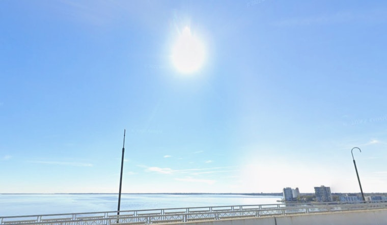
Marine and Travel Notes
Gale warnings remain up for offshore waters through 10 a.m. Monday, and northeast Florida beaches are dealing with a moderate rip-current risk, so mariners and swimmers should be extra cautious. Early Tuesday morning, frost could leave bridges and shaded roadways a bit slick, so allow extra time for your commute. Anyone without reliable heat or shelter is urged to call 211 for local assistance, and residents are encouraged to check in on elderly or vulnerable neighbors.


