Thursday, Feb. 19, 2026, is starting out calm and bright in Oklahoma City, with sunshine and mild temperatures in the 50s and 60s and a forecast high near 65°F. Beneath the pleasant vibe, though, lurks a much sharper threat this afternoon as critical fire-weather conditions line up over central Oklahoma. Very dry air and strong winds could turn even a tiny spark into a fast-moving fire, so anyone living near grassland or brush should skip any outdoor flame-based plans and lock down loose items before the winds really crank up.
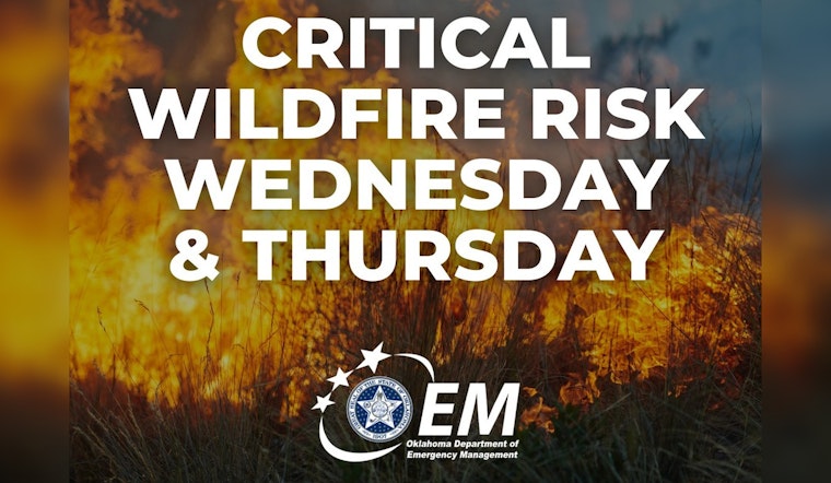
NWS Norman has issued a Red Flag Warning for central Oklahoma, including the entire Oklahoma City metro, from 10 a.m. to 7 p.m. Thursday. The alert calls for west winds of 15 to 25 mph with gusts up to 40 mph and relative humidity dropping into the low teens, and it carries a blunt warning that "any fires that develop will likely spread rapidly."
Afternoon Winds Pick Up
Through late morning and into mid-afternoon, winds will swing around to the west and strengthen, with the punchiest period expected from late morning through about 3 p.m. Forecasts point to sustained winds of 15 to 21 mph and frequent gusts in the 30 to 40 mph range. That is plenty to toss around loose debris and make driving more of a chore. High-profile vehicles and unsecured loads are most at risk, so give yourself extra time on the road and make sure patio furniture, trash cans, and anything else that can fly are tied down or moved inside.
What To Do Today
Fire officials are asking residents to avoid open burning, push yard debris burns to another day, and keep grills and generators at least 10 feet away from any building while the Red Flag Warning is in effect. If you spot smoke, call 911 right away with as precise a location as you can give and stay upwind. Area fire departments emphasize that early reports of any possible wildfire are crucial. To keep the day a little less stressful for four-legged family members, keep pets indoors or tucked into a sheltered outdoor spot until winds ease and the air improves.
We flagged growing fire concerns yesterday, and this Red Flag Warning now replaces the earlier Fire Weather Watch. For background on the warm spell that set this up, revisit our prior coverage. Local agencies expect to be able to drop the warning this evening once winds back off and humidity starts to recover.
Looking Ahead
By Friday and into the weekend, cooler and calmer weather should return, with highs in the mid 50s and lighter breezes giving firefighters and residents a short breather. Forecasters are already eyeing early next week, though, as southerly winds and warmer, drier air could bring elevated fire danger back by Tuesday, so it is smart to time any outdoor projects around that window. We will keep tracking alerts as the week rolls on and will update if the forecast takes a turn.
For now, keep phone alerts turned on, secure or bring in anything that can blow away, and avoid open flames while the Red Flag Warning is active. If conditions change, local emergency channels will send official updates, and we will reflect those changes here.


