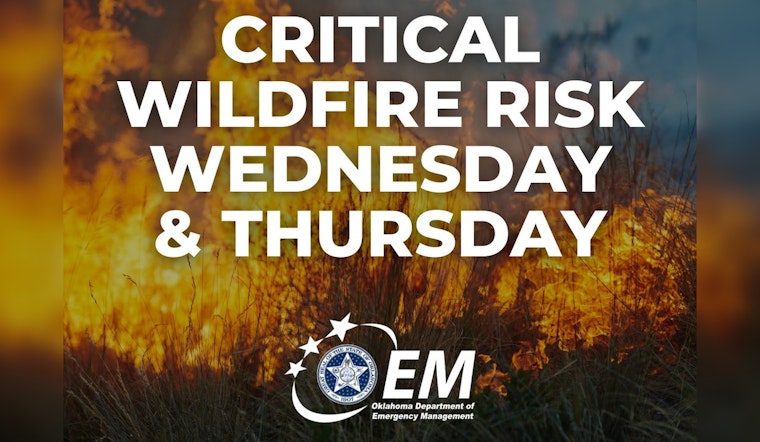
Oklahoma City is under a Red Flag Warning on Wednesday, February 18, 2026, as unseasonably warm, dry air teams up with gusty southwest winds to boost the risk of fast-spreading grass and brush fires. Skies will stay mostly sunny with a high near 74F, but afternoon winds will crank up and humidity will drop into the teens in parts of the metro. Residents are urged to postpone any outdoor burning, secure loose yard furniture and be ready to call 911 at the first sign of smoke.
Afternoon Winds Pick Up
Southwest winds are expected to turn noticeably gusty this afternoon, with the National Weather Service calling for gusts up to 40 mph across northwest Oklahoma and much of central Oklahoma likely to see gusts in the mid 20s to mid 30s. Paired with relative humidity near 10 to 15 percent, those winds will create near critical to critical fire weather conditions today, meaning even a small spark could spread quickly, according to NWS Norman.
What To Do Today
Avoid controlled burns and outdoor debris burning. The City of Norman requires permits for agricultural burning and does not allow burns when winds or humidity move beyond safe limits; call 405-307-7200 on weekdays or 405-321-1444 on weekends to check permitting. If you must work outside, keep a charged phone and a water source close by, secure flammable materials and call 911 immediately if you spot an uncontrolled fire. For local burn rules, see the Norman Fire Department website at Burning Information.
Thursday Outlook
Near critical to critical fire weather could return on Thursday, with a Fire Weather Watch in effect from Thursday morning through Thursday evening. West to northwest winds and even drier air are possible in some areas, so it is a good idea to keep outdoor burning off the schedule through Thursday and to monitor forecasts and alerts from the National Weather Service for any upgrades to warnings, per NWS Norman.
Where We Covered This Before
We flagged the earlier warm spell and elevated fire concerns on February 15, and this Red Flag Warning is the next step as winds and dryness ramp up. For local background on the warmup and fire risk, see our previous post on the warmup and fire danger.


