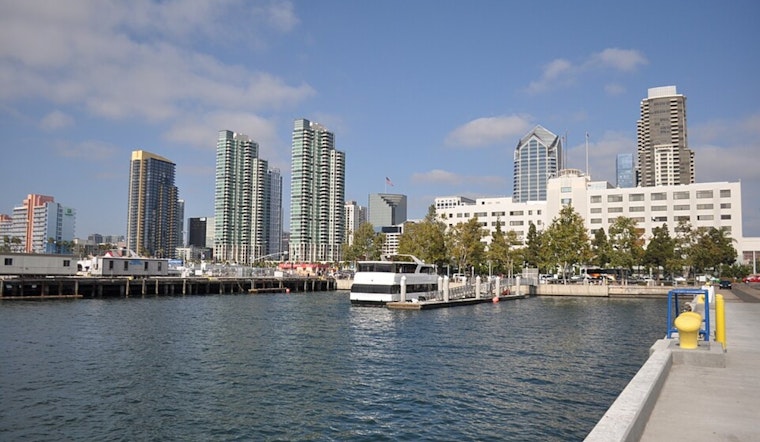
San Diego woke up to a calm, postcard-perfect morning Sunday, with clear skies and cool air settling near 50°F at San Diego International Airport. The coastline will heat up fast, with a sunny afternoon high near 77°F on tap. The real headline, though, arrives Monday, when forecasters say large breaking waves combined with unusually high tides could send seawater into low-lying beach parking lots and walkways during the morning high tides on both Monday and Tuesday.
Monday–Tuesday: Large Breaking Waves, Higher Tides
A High Surf Advisory and a Coastal Flood Advisory are in effect from 4 a.m. Monday, February 2, through 10 a.m. Tuesday, February 3. West-facing beaches are expected to see breaking waves in the 5 to 8 foot range, with local sets up to 9 feet. Predicted high tides at La Jolla are about 6.4 feet at 8:53 a.m. on Monday and 5.9 feet at 9:34 a.m. on Tuesday. Those tides working together with the swell could trigger minor flooding in parking lots, parks, and some roads, according to the National Weather Service San Diego.
Where And When To Be Careful
The beaches most likely to feel the brunt of this event are the west-facing stretches of coastline, including areas like La Jolla, where strong sets can surge far up the sand. During the advisory window, expect dangerous rip currents and pockets of beach erosion along those shores. This update builds on earlier coverage of rising ocean energy and now folds in the formal advisories and exact tide times for Monday morning; see our report on rising swells for additional context.
How To Stay Safe
Residents near the water are urged to move vehicles off low-lying lots and respect any barriers or closures. If you see standing water, do not try to drive through it, even if it looks shallow. The City of San Diego is offering empty sandbags at several recreation centers, with supplies limited and a cap of up to 10 per household. Locations and hours are listed on the City of San Diego storm-preparedness page. While the advisories are active and when lifeguards or local officials post closures, inexperienced swimmers are advised to stay out of the water altogether.
Looking Ahead
Sunday’s sunshine should hang on, but the National Weather Service is calling for a warming trend from Tuesday through Thursday, with a chance of offshore Santa Ana winds in the middle of the week that could nudge inland temperatures into the 80s by Wednesday. If your plans put you near the shoreline through Tuesday morning, keep checking updated forecasts and local advisories as conditions evolve.


