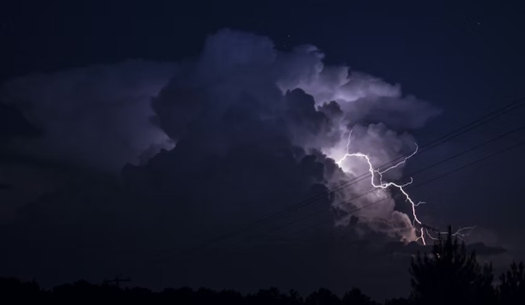
Salt Lake City is waking up to mostly cloudy skies and about 43°F this Thursday as a Pacific storm rolls through, delivering a steady light rain overnight and into the morning hours. The wet pattern eases by mid-morning before reloading: showers and scattered thunderstorms are expected to pop back up across the valley, with the most active stretch likely between about 11 a.m. and 5 p.m. Brief downpours could gum up the afternoon commute and cut visibility on busy city streets.
What To Expect Thursday
Rain is likely overnight into mid-morning, with new totals generally between a tenth and a quarter inch. After that morning lull, showers and thunderstorms become most likely between about 11 a.m. and 5 p.m., with highs topping out near 50–51°F before easing later in the day. Up in the mountains, the worst of it arrives in the afternoon, with higher snowfall rates possible between roughly 2–6 p.m. and snow levels hovering near 7,500 feet, according to the National Weather Service.
Afternoon Impacts
Heavier afternoon showers and any thunderstorms could deliver quick-hitting downpours that slash visibility, make city streets slick, and slow peak-hour traffic right when everyone is trying to get home. Heading to the canyons or resorts? Be ready for fast-changing conditions, as wet, heavy snow at higher elevations can slow canyon roads and affect lift operations. For context on how this pattern has been shaping up, check our earlier storm coverage, as per Hoodline.
Weekend And Next Week
A ridge builds in Friday into the weekend, giving the area a short breather with drier skies and highs generally in the upper 40s to mid-50s through Sunday. After that calm spell, a more active pattern returns early next week. Forecast guidance leans toward colder air and a developing trough by Monday, raising the odds that valley rain could flip to snow by mid-week, with some guidance hinting at a measurable threat for parts of the Wasatch Front, according to the National Weather Service.
How To Plan
Plan on slower drives and some extra windshield-wiper time. Bring an umbrella, ease off the gas on wet roads, and give yourself extra time if you are heading up the canyons. Check road conditions before you go; UDOT's traveler tools offer live road cameras, road-weather alerts, and traction advisories for canyon routes. See UDOT Traffic for live updates.


