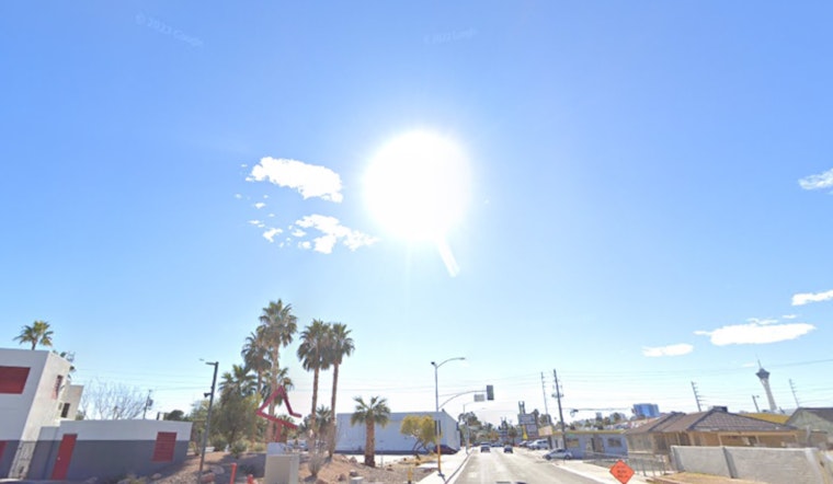
Mostly clear, cool conditions started the day in Phoenix, with temperatures near 54°F at Phoenix Sky Harbor International Airport, but a fast-moving Pacific system will bring increasing southwest winds and a chance of brief showers mainly in higher terrain. Overnight, temperatures are expected to fall into the low 40s across the Valley.
Afternoon Winds Pick Up
A Wind Advisory is in effect from 8 a.m. to 4 p.m. MST for portions of southwestern Arizona and neighboring California, according to the National Weather Service. Advisory areas can expect sustained west to southwest winds of 20 to 30 mph, with gusts reaching up to 45 mph in exposed desert corridors. Across Valley neighborhoods, gusts are more likely to top out in the 20 to 30 mph range. Those stronger bursts can make travel tricky for high-profile vehicles and may kick up pockets of blowing dust across parts of the lower deserts.
Where Showers Will Fall
Light, quick-hitting showers may develop after about 9 a.m., mainly north of the Phoenix metro and over the foothills and higher terrain. Most lower-desert spots should stay dry or see only a brief sprinkle. Rainfall totals around the city are expected to amount to just a few hundredths of an inch, with up to 0.25 inches possible in the higher elevations. Snow levels will hover near 6,000 feet during the most active period before settling to roughly 4,500 to 5,000 feet tonight, so only mountain locations might see a short-lived changeover from rain to wet snow, with little accumulation expected. For a look at the setup that brought earlier clouds and rain chances this week, revisit our previous coverage: Clouds Crowd Valley Skies.
Week Ahead
Thursday and Friday will feel noticeably cooler, with highs in the low-60s and overnight lows dropping into the 30s for many lower-desert neighborhoods. Friday night into Saturday morning currently appears to be the coldest stretch of the week. Another quick disturbance passing through from Thursday night into Friday could spark a few additional spotty mountain showers, but the Valley itself should remain mostly dry. By the weekend and into early next week, a much drier and warmer pattern takes over, sending highs to around 71°F on Saturday and then into the low-80s by Monday.
What You Should Do
Secure loose outdoor items and tie down grills, as strong gusts are possible through mid-afternoon. Plan for a little extra time on the afternoon commute and slow down if you run into blowing dust or sudden gusts along the highway. Keep a light jacket handy for the cooler evenings, and check the latest forecast from the National Weather Service if your plans shift.


